Transport Functions
Multimodal
Hub Profile
Place type
Populated place
Region
Centre-Val de Loire
Population
3,227
Time zone
Europe/Paris
Elevation
76 m
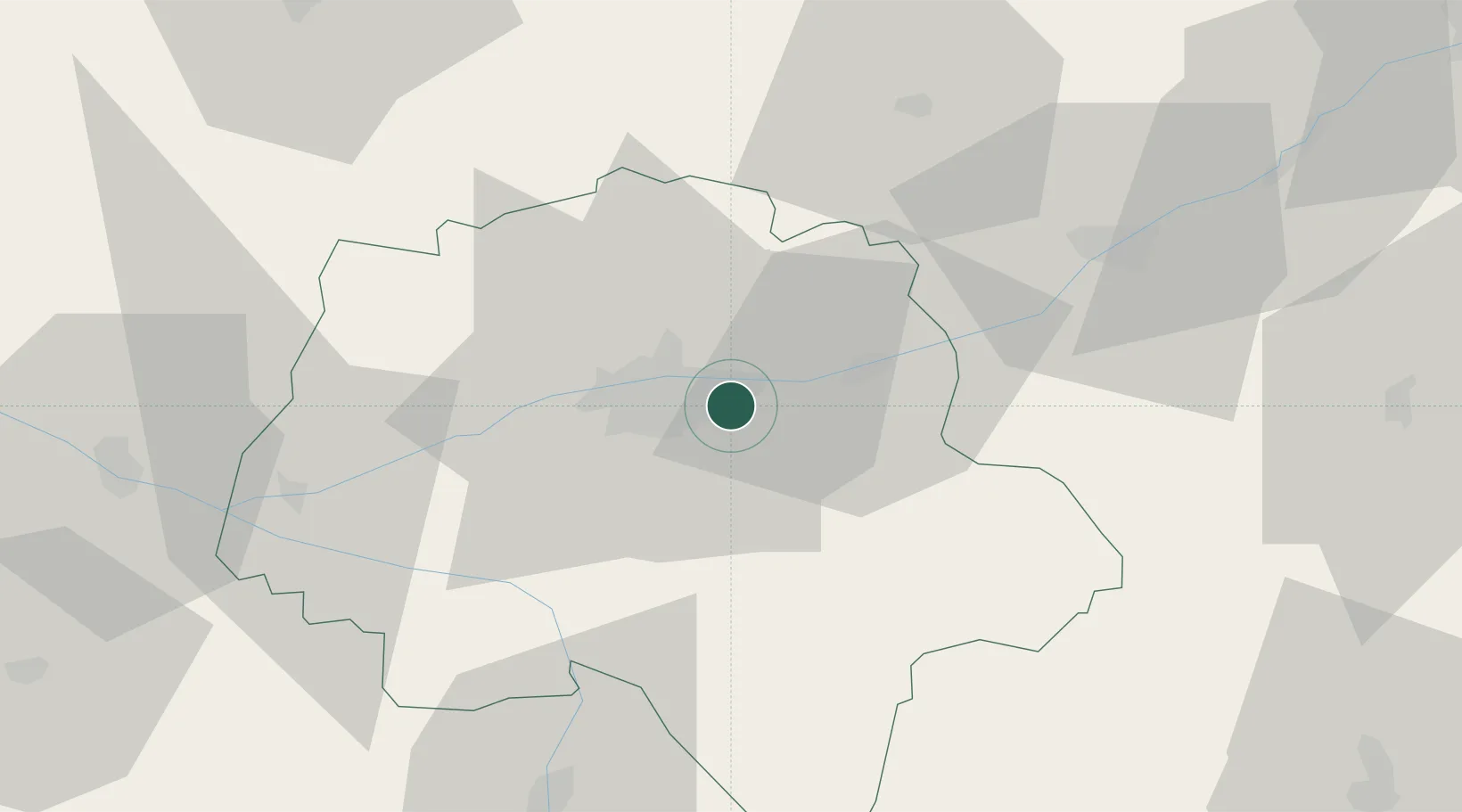
Location
Nearby Logistics Neighbours
Cities
- 1Larçay1 km
- 2Montlouis-sur-Loire3 km
- 3Azay-sur-Cher4 km
- 4Vernou-sur-Brenne7 km
- 5Tours7 km
Ports
- 1Nantes180 km
- 2La Rochelle201 km
- 3La Pallice204 km
- 4Tonnay Charente206 km
- 5Rochefort208 km
Airports
- 1Tours Val de Loire Airport9 km
- 2Le Mans-Arnage Airport79 km
- 3Angers Marcé airport86 km
- 4Châteaudun Airfield88 km
- 5Châteauroux Déols airport90 km
Trade Zones
- 1ZFU Blois43 km
- 2ZFU Le Mans85 km
- 3ZFU Orléans96 km
- 4ZFU Angers106 km
- 5ZFU Bourges120 km
DatabookThe Record of Consolidated Knowledge
France beyond logistics?