Transport Functions
Multimodal
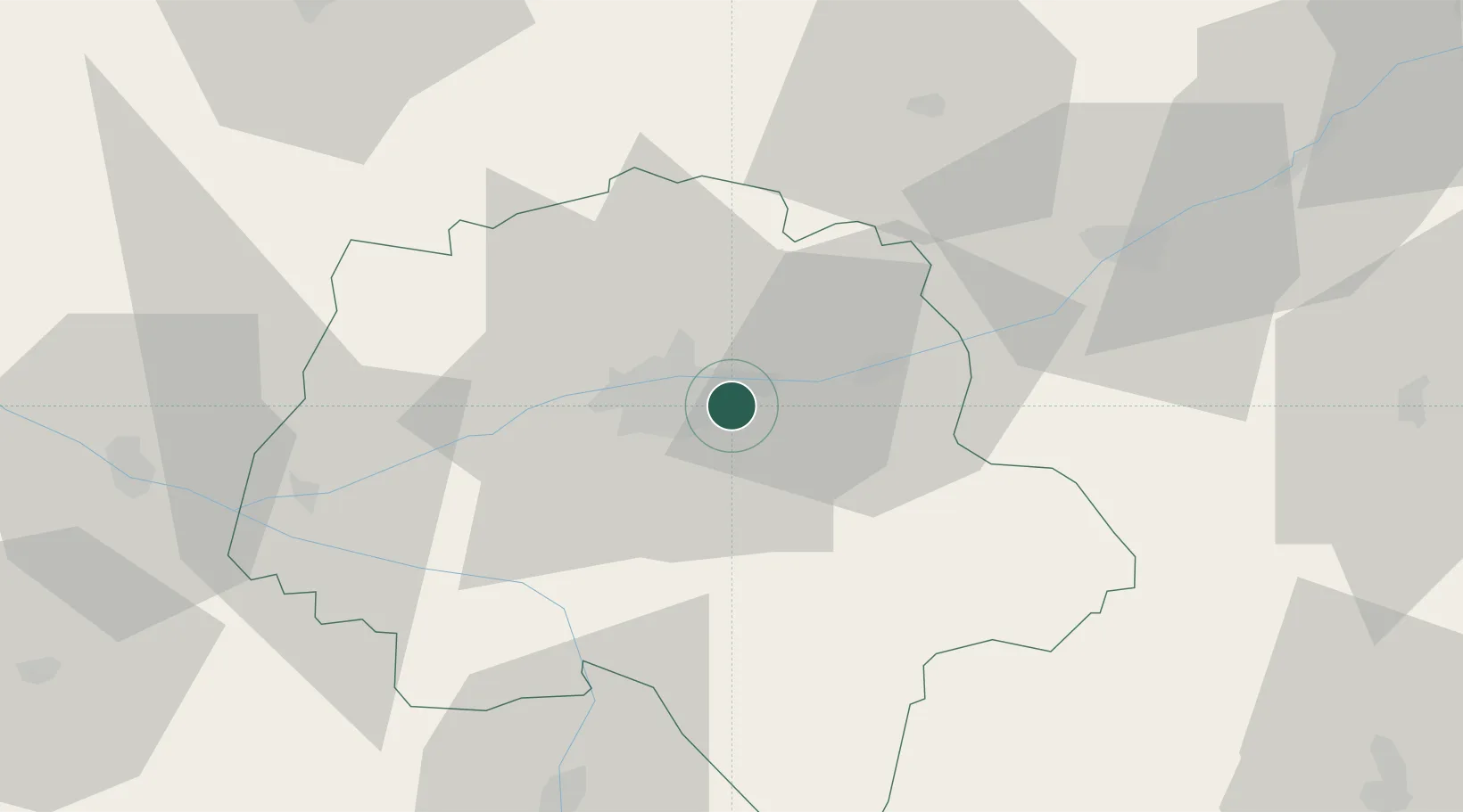
Hub Profile
Place type
Populated place
Region
Centre-Val de Loire
Population
2,135
Time zone
Europe/Paris
Elevation
82 m
Location
Nearby Logistics Neighbours
Cities
- 1Véretz1 km
- 2Montlouis-sur-Loire4 km
- 3Azay-sur-Cher5 km
- 4Tours6 km
- 5Chambray-lès-Tours6 km
Ports
- 1Nantes178 km
- 2La Rochelle200 km
- 3La Pallice203 km
- 4Tonnay Charente205 km
- 5Rochefort207 km
Airports
- 1Tours Val de Loire Airport8 km
- 2Le Mans-Arnage Airport78 km
- 3Angers Marcé airport85 km
- 4Châteaudun Airfield89 km
- 5Châteauroux Déols airport91 km
Trade Zones
- 1ZFU Blois44 km
- 2ZFU Le Mans84 km
- 3ZFU Orléans97 km
- 4ZFU Angers105 km
- 5ZFU Bourges121 km
DatabookThe Record of Consolidated Knowledge
France beyond logistics?