Transport Functions
Rail
Airport
Postal
Hub Profile
Place type
Provincial seat
Region
Centre-Val de Loire
Population
141,621
Time zone
Europe/Paris
Elevation
52 m
Logistics facilities
3
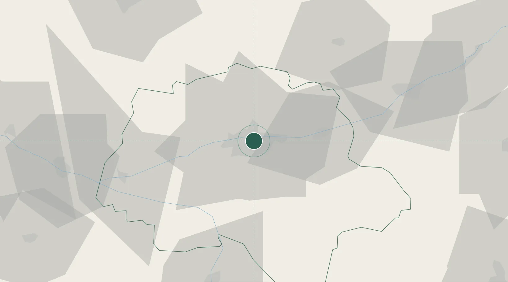
Location
Nearby Logistics Neighbours
Cities
- 1Larçay6 km
- 2Chambray-lès-Tours6 km
- 3Véretz7 km
- 4Notre-Dame-d'Oé7 km
- 5Montlouis-sur-Loire9 km
Ports
- 1Nantes173 km
- 2La Rochelle198 km
- 3La Pallice200 km
- 4Tonnay Charente203 km
- 5Rochefort206 km
Airports
- 1Tours Val de Loire Airport5 km
- 2Le Mans-Arnage Airport73 km
- 3Angers Marcé airport80 km
- 4Châteaudun Airfield90 km
- 5Poitiers-Biard Airport94 km
Trade Zones
- 1ZFU Blois47 km
- 2ZFU Le Mans79 km
- 3ZFU Angers99 km
- 4ZFU Orléans100 km
- 5ZFU Alençon125 km
DatabookThe Record of Consolidated Knowledge
France beyond logistics?