Transport Functions
Multimodal
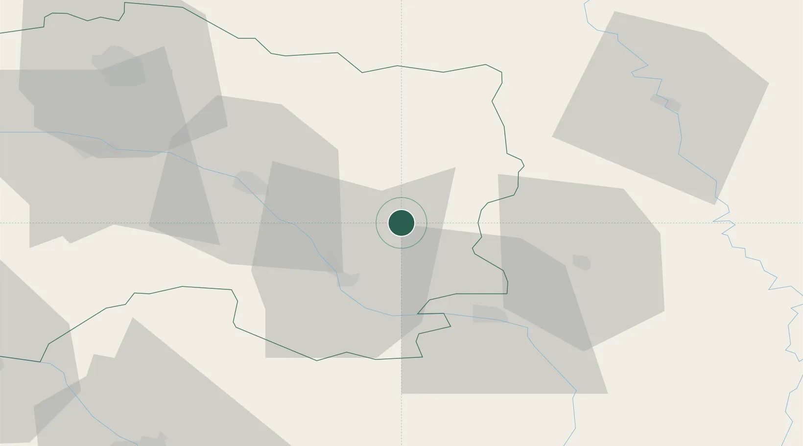
Hub Profile
Place type
Populated place
Region
Grand Est
Population
158
Time zone
Europe/Paris
Elevation
149 m
Location
Nearby Logistics Neighbours
Cities
- 1Bassuet9 km
- 2Pargny-sur-Saulx13 km
- 3Plichancourt14 km
- 4Sermaize-les-Bains16 km
- 5Soulanges17 km
Airports
Trade Zones
DatabookThe Record of Consolidated Knowledge
France beyond logistics?