UN/LOCODE hub · France
FRZNA
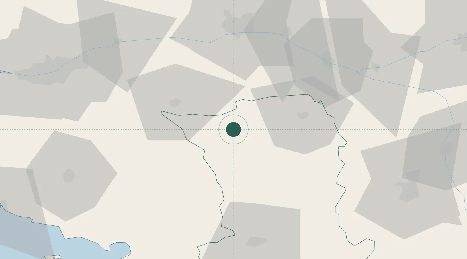
Nueil-les-Aubiers
46.9167°, -0.5667°
5,195
Population
2
Transport functions
Transport Functions
Road
Multimodal
Hub Profile
Place type
Populated place
Region
Nouvelle-Aquitaine
Population
5,195
Time zone
Europe/Paris
Elevation
108 m
Location
Nearby Logistics Neighbours
Cities
- 1Les Aubiers4 km
- 2Bressuire11 km
- 3Courlay15 km
- 4Maulévrier18 km
- 5Saint-Paul-du-Bois19 km
Ports
- 1Nantes82 km
- 2La Rochelle96 km
- 3La Pallice97 km
- 4Les Sables D' Olonne105 km
- 5Tonnay Charente112 km
Airports
Trade Zones
- 1ZFU Angers63 km
- 2ZFU Nantes et Saint-Herblain92 km
- 3ZFU La Rochelle97 km
- 4ZFU Le Mans129 km
- 5ZFU Saint-Nazaire135 km
DatabookThe Record of Consolidated Knowledge
France beyond logistics?