Transport Functions
Road
Multimodal
Hub Profile
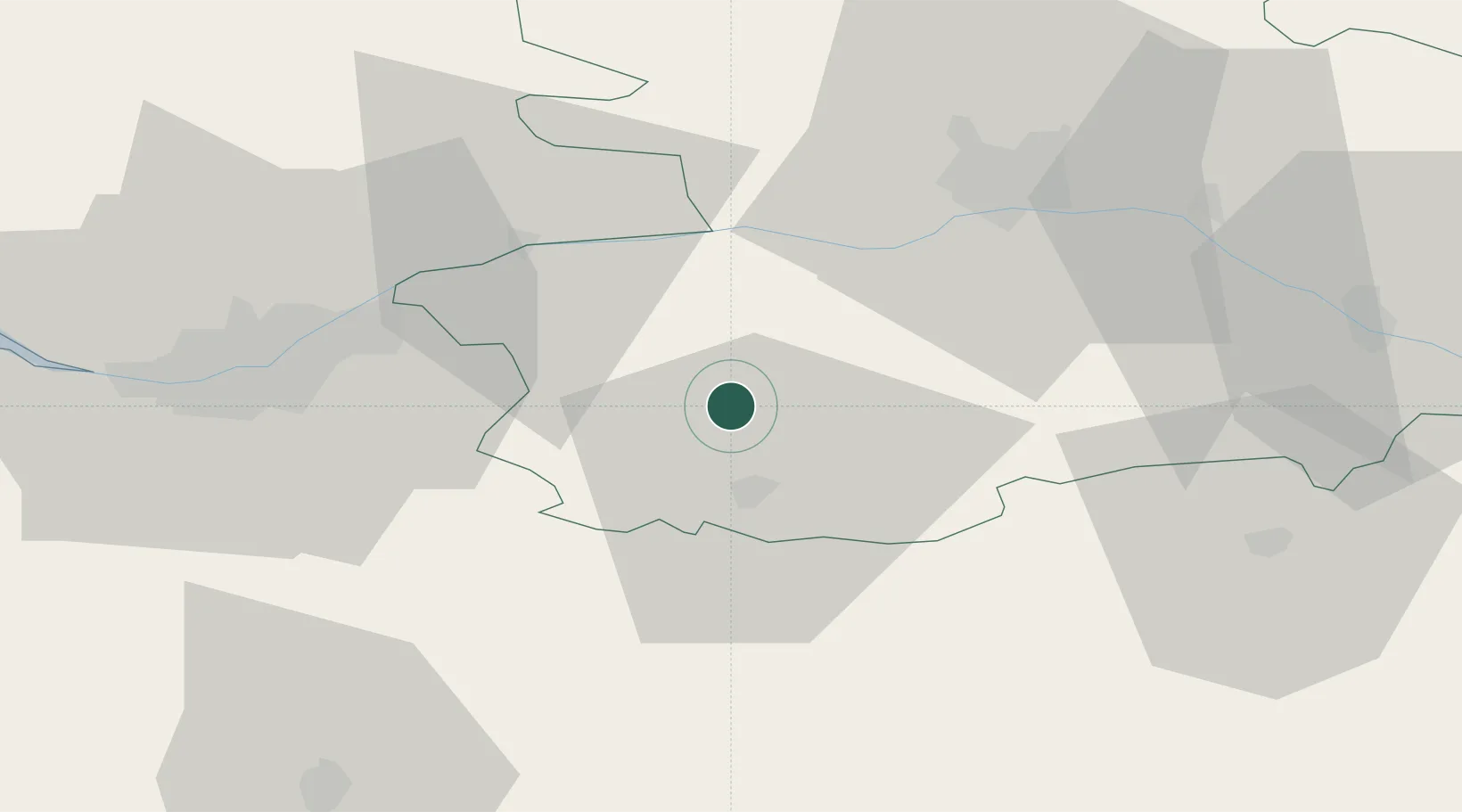
Place type
Populated place
Region
Pays de la Loire
Population
1,161
Time zone
Europe/Paris
Elevation
105 m
Location
Nearby Logistics Neighbours
Cities
- 1Bégrolles-en-Mauges3 km
- 2Chemillé14 km
- 3Cholet14 km
- 4La Romagne14 km
- 5Mazières-en-Mauges14 km
Ports
- 1Nantes51 km
- 2Donges89 km
- 3Montoir94 km
- 4St Nazaire99 km
- 5Les Sables D' Olonne101 km
Airports
Trade Zones
- 1ZFU Angers42 km
- 2ZFU Nantes et Saint-Herblain61 km
- 3ZFU Saint-Nazaire105 km
- 4ZFU La Rochelle114 km
- 5ZFU Le Mans119 km
DatabookThe Record of Consolidated Knowledge
France beyond logistics?