UN/LOCODE hub · France
FRBXW
Bégrolles-en-Mauges
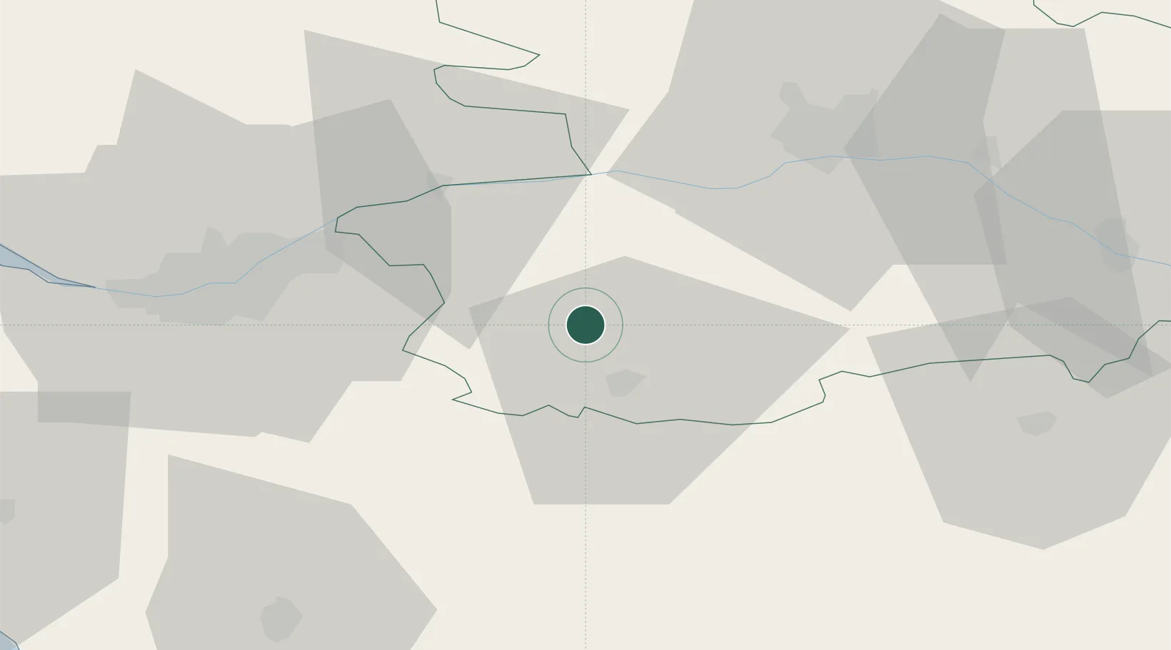
47.1500°, -0.9333°
1,617
Population
1
Transport functions
Transport Functions
Multimodal
Hub Profile
Place type
Populated place
Region
Pays de la Loire
Population
1,617
Time zone
Europe/Paris
Elevation
110 m
Location
Nearby Logistics Neighbours
Cities
- 1La Jubaudière3 km
- 2La Romagne11 km
- 3Cholet12 km
- 4Mazières-en-Mauges14 km
- 5La Chaussaire16 km
Ports
- 1Nantes48 km
- 2Donges87 km
- 3Montoir92 km
- 4St Nazaire97 km
- 5Les Sables D' Olonne98 km
Airports
Trade Zones
- 1ZFU Angers45 km
- 2ZFU Nantes et Saint-Herblain59 km
- 3ZFU Saint-Nazaire102 km
- 4ZFU La Rochelle112 km
- 5ZFU Le Mans122 km
DatabookThe Record of Consolidated Knowledge
France beyond logistics?