Transport Functions
Multimodal
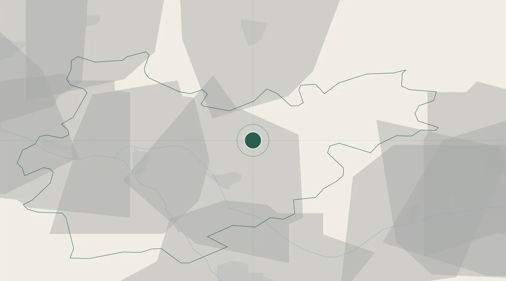
Hub Profile
Place type
Populated place
Region
Occitanie
Population
947
Time zone
Europe/Paris
Elevation
87 m
Location
Nearby Logistics Neighbours
Cities
- 1Réalville3 km
- 2Montauban15 km
- 3Montbeton17 km
- 4Belfort-du-Quercy18 km
- 5Bressols20 km
Ports
- 1Bordeaux178 km
- 2Port-La-Nouvelle181 km
- 3Ambes184 km
- 4Sete199 km
- 5Blaye200 km
Airports
Trade Zones
- 1ZFU Toulouse59 km
- 2ZFU Béziers168 km
- 3ZFU Hauts de Garonne177 km
- 4Port de Bordeaux178 km
- 5ZFU Perpignan198 km
DatabookThe Record of Consolidated Knowledge
France beyond logistics?