Transport Functions
Multimodal
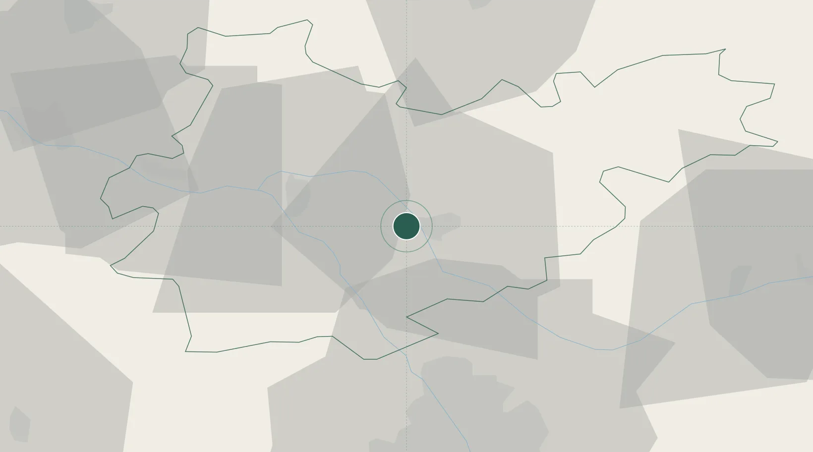
Hub Profile
Place type
Populated place
Region
Occitanie
Population
2,305
Time zone
Europe/Paris
Elevation
99 m
Location
Nearby Logistics Neighbours
Cities
- 1Montauban4 km
- 2Bressols6 km
- 3Montech9 km
- 4Labastide-Saint-Pierre12 km
- 5Montbartier13 km
Ports
- 1Bordeaux176 km
- 2Port-La-Nouvelle181 km
- 3Ambes183 km
- 4Blaye199 km
- 5Sete205 km
Airports
Trade Zones
- 1ZFU Toulouse47 km
- 2ZFU Béziers172 km
- 3ZFU Hauts de Garonne174 km
- 4Port de Bordeaux176 km
- 5ZFU Perpignan195 km
DatabookThe Record of Consolidated Knowledge
France beyond logistics?