Transport Functions
Multimodal
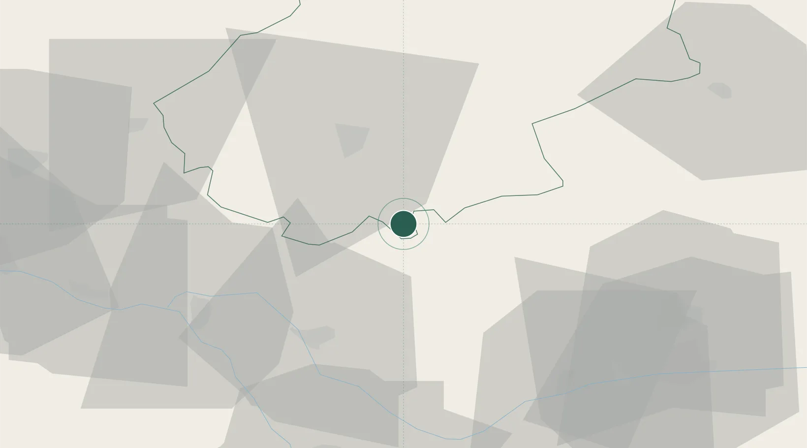
Hub Profile
Place type
Populated place
Region
Occitanie
Population
503
Time zone
Europe/Paris
Elevation
272 m
Location
Nearby Logistics Neighbours
Cities
- 1Fontanes7 km
- 2Le Montat15 km
- 3Meauzac18 km
- 4Réalville18 km
- 5Trespoux-Rassiels22 km
Ports
- 1Bordeaux181 km
- 2Ambes185 km
- 3Port-La-Nouvelle185 km
- 4Sete198 km
- 5Blaye200 km
Airports
- 1Cahors Lalbenque airport11 km
- 2Albi Le Sequestre airport60 km
- 3Toulouse-Blagnac Airport72 km
- 4Rodez–Aveyron Airport76 km
- 5Agen La Garenne airport77 km
Trade Zones
- 1ZFU Toulouse74 km
- 2ZFU Béziers169 km
- 3ZFU Hauts de Garonne180 km
- 4Port de Bordeaux180 km
- 5ZFU Montpellier198 km
DatabookThe Record of Consolidated Knowledge
France beyond logistics?