Transport Functions
Rail
Hub Profile
Place type
Provincial seat
Region
Occitanie
Population
52,434
Time zone
Europe/Paris
Elevation
112 m
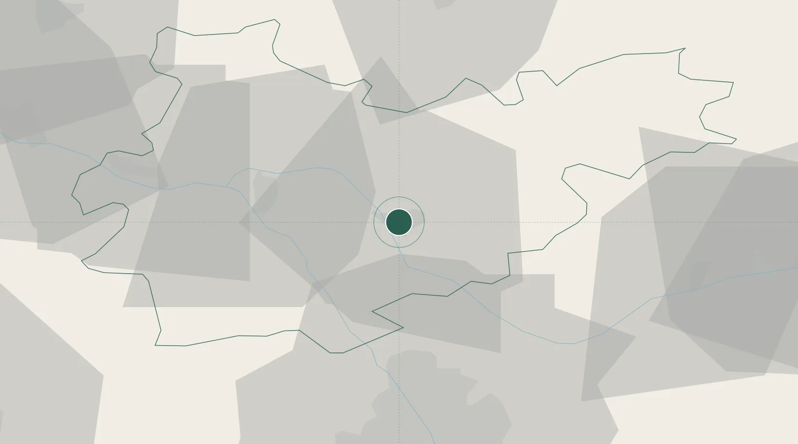
Location
Nearby Logistics Neighbours
Cities
- 1Montbeton4 km
- 2Bressols6 km
- 3Labastide-Saint-Pierre11 km
- 4Montech12 km
- 5Réalville15 km
Ports
- 1Port-La-Nouvelle178 km
- 2Bordeaux179 km
- 3Ambes186 km
- 4Sete201 km
- 5Blaye202 km
Airports
Trade Zones
- 1ZFU Toulouse46 km
- 2ZFU Béziers168 km
- 3ZFU Hauts de Garonne178 km
- 4Port de Bordeaux180 km
- 5ZFU Perpignan192 km
DatabookThe Record of Consolidated Knowledge
France beyond logistics?