UN/LOCODE hub · France
FRZLM
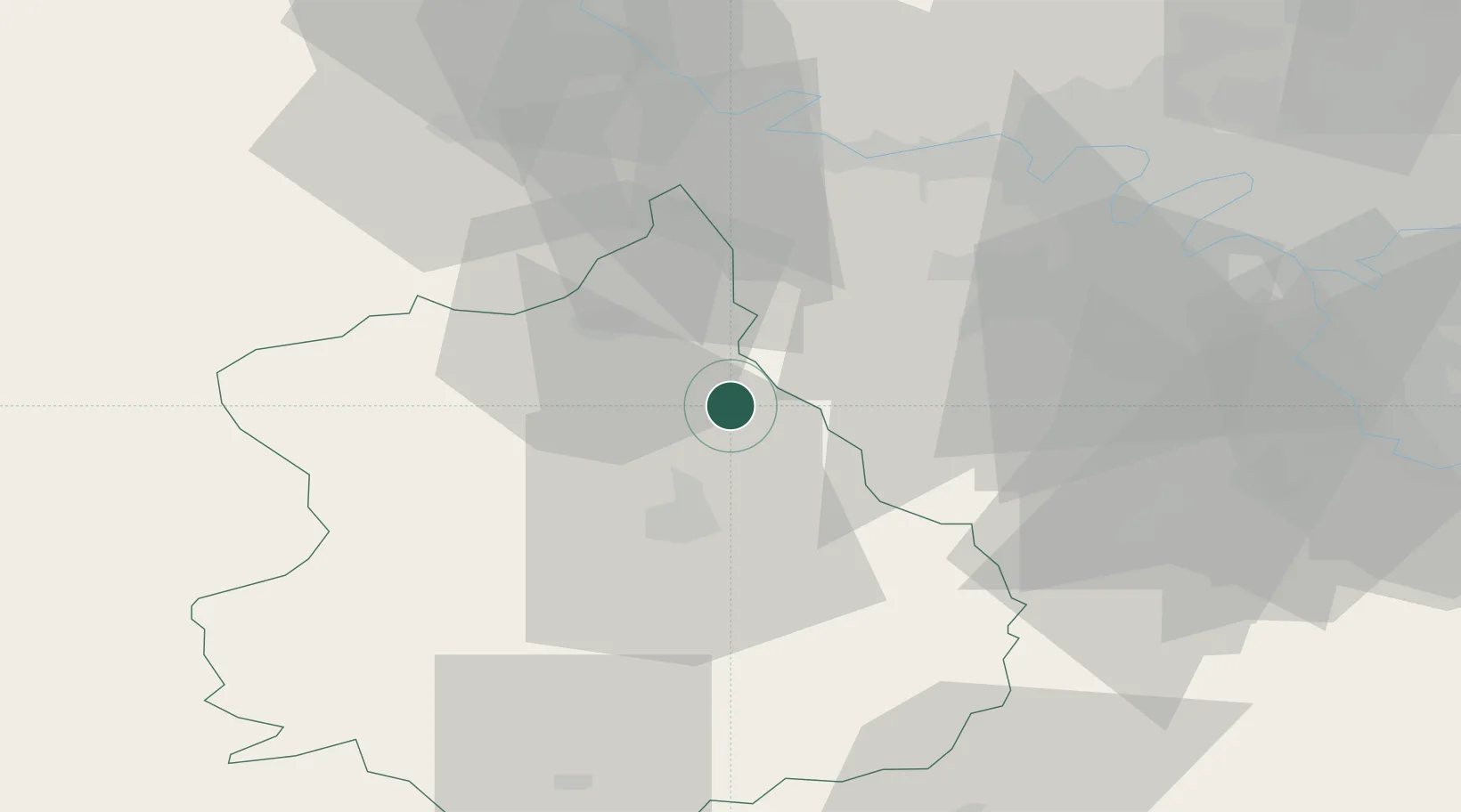
Villiers-le-Morhier
48.6167°, 1.5667°
1,271
Population
1
Transport functions
Transport Functions
Multimodal
Hub Profile
Place type
Populated place
Region
Centre-Val de Loire
Population
1,271
Time zone
Europe/Paris
Elevation
103 m
Location
Nearby Logistics Neighbours
Cities
- 1Saint-Piat9 km
- 2Gazeran15 km
- 3Tremblay-les-Villages15 km
- 4Gasville-Oisème15 km
- 5Ymeray15 km
Ports
- 1Port Of Rouen100 km
- 2Honfleur133 km
- 3Deauville137 km
- 4Port Of Le Havre143 km
- 5Dieppe151 km
Airports
Trade Zones
- 1ZFU Dreux et Sainte-Gemme-Moronval20 km
- 2ZFU Trappes36 km
- 3ZFU Mantes-la-Jolie43 km
- 4ZFU Les Mureaux48 km
- 5ZFU Évreux55 km
DatabookThe Record of Consolidated Knowledge
France beyond logistics?