Transport Functions
Multimodal
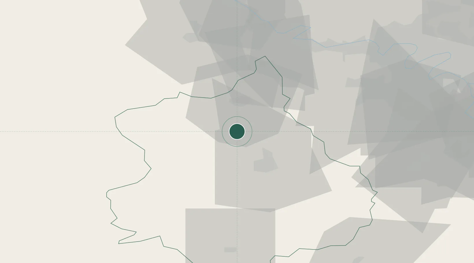
Hub Profile
Place type
Populated place
Region
Centre-Val de Loire
Time zone
Europe/Paris
Elevation
191 m
Location
Nearby Logistics Neighbours
Cities
- 1Villiers-le-Morhier15 km
- 2Saint-Prest17 km
- 3Saint-Piat18 km
- 4Montreuil19 km
- 5Chartres19 km
Ports
- 1Port Of Rouen97 km
- 2Honfleur124 km
- 3Deauville127 km
- 4Port Of Le Havre134 km
- 5Ouistreham140 km
Airports
Trade Zones
- 1ZFU Dreux et Sainte-Gemme-Moronval17 km
- 2ZFU Évreux50 km
- 3ZFU Mantes-la-Jolie50 km
- 4ZFU Trappes50 km
- 5ZFU Les Mureaux58 km
DatabookThe Record of Consolidated Knowledge
France beyond logistics?