UN/LOCODE hub · France
FRZKK

Questembert

47.6667°, -2.4667°
6,392
Population
1
Transport functions

Transport Functions

Multimodal
UN/LOCODE

Hub Profile

Place type
Populated place
GeoNames
Region
Brittany
GeoNames
Population
6,392
GeoNames
Time zone
Europe/Paris
GeoNames
Elevation
102 m
GeoNames

Location

Location of FRZKK
Natural Earth 10m (public domain) · Brittany · FRZKK · 47.67, -2.47GoogleOSMYandex

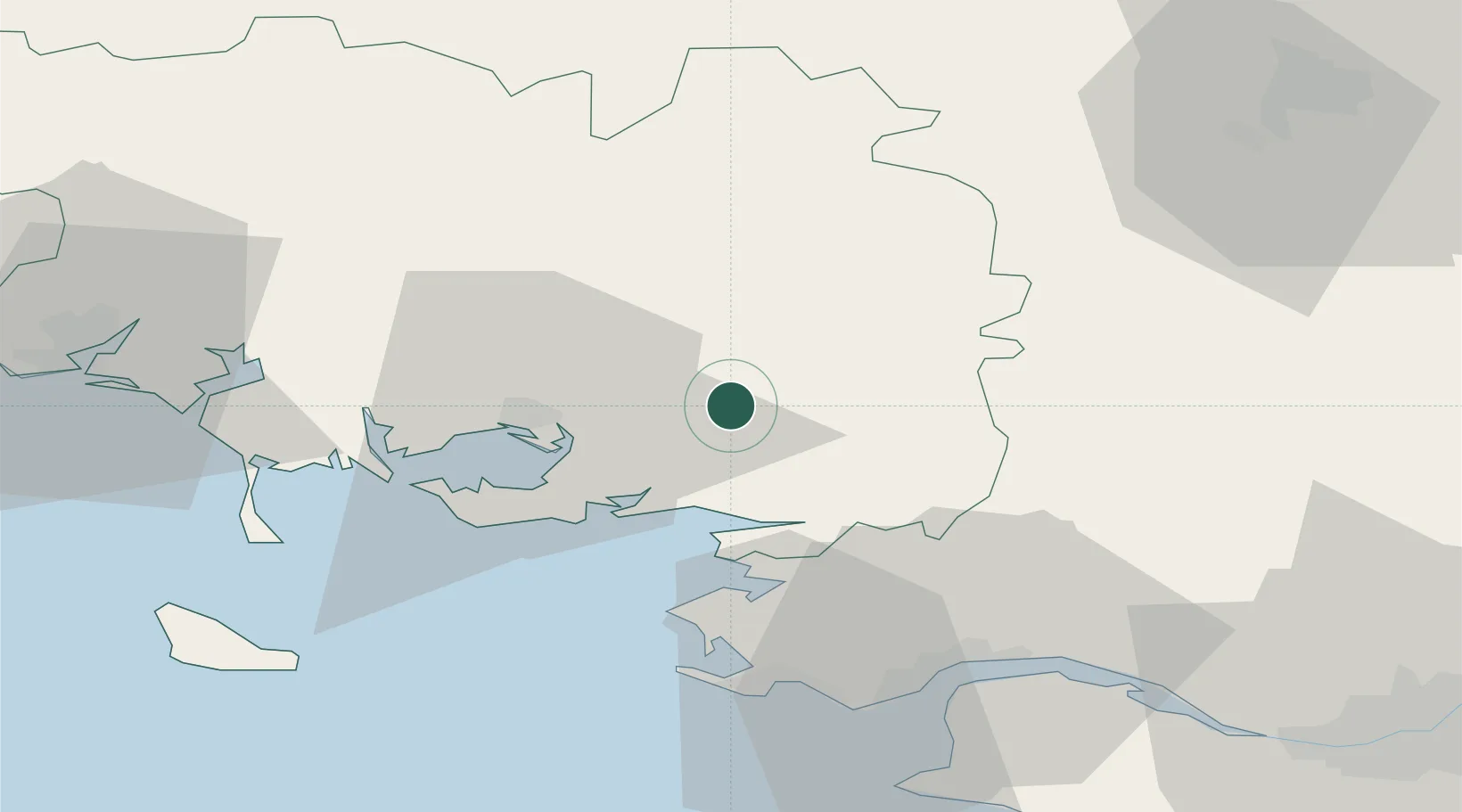
Nearby Logistics Neighbours

Cities
  1. 1Lauzach8 km
  2. 2Treffléan11 km
  3. 3Péaule12 km
  4. 4Muzillac13 km
  5. 5Trédion16 km
Nearest neighbours — logibook spatial index (haversine) over the source coordinates
Ports
  1. 1St Nazaire47 km
  2. 2Montoir48 km
  3. 3Donges51 km
  4. 4Lorient67 km
  5. 5Nantes85 km
Nearest neighbours — logibook spatial index (haversine) over the source coordinates
Airports
  1. 1Vannes-Meucon Airport20 km
  2. 2La Baule-Escoublac Airport43 km
  3. 3Saint-Nazaire-Montoir Airport46 km
  4. 4Aérodrome de Belle Île67 km
  5. 5Rennes-Saint-Jacques Airport71 km
Nearest neighbours — logibook spatial index (haversine) over the source coordinates
Trade Zones
  1. 1ZFU Saint-Nazaire46 km
  2. 2ZFU Nantes et Saint-Herblain76 km
  3. 3ZFU Angers142 km
  4. 4ZFU La Rochelle193 km
  5. 5ZFU Le Mans197 km
Nearest neighbours — logibook spatial index (haversine) over the source coordinates
DatabookThe Record of Consolidated Knowledge
France beyond logistics?
Browse databook

All Sources

LocationsUN/LOCODE
UN/LOCODE — free
LocationsGeoNames
CC BY 4.0
Portsthe NGA World Port Index
Public domain (US gov)
AirportsOurAirports
Public domain
Trade Zonesthe World Bank SEZ database
CC BY 4.0
Trade ZonesOpen Zone Map
CC BY
← France locations