Transport Functions
Multimodal
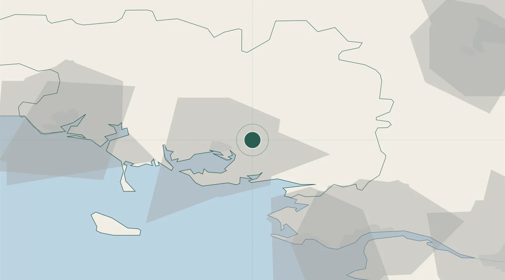
Hub Profile
Place type
Populated place
Region
Brittany
Population
1,544
Time zone
Europe/Paris
Elevation
114 m
Location
Nearby Logistics Neighbours
Cities
- 1Lauzach10 km
- 2Questembert11 km
- 3Trédion11 km
- 4Vannes12 km
- 5Séné12 km
Ports
- 1St Nazaire54 km
- 2Lorient55 km
- 3Montoir56 km
- 4Donges59 km
- 5Le Legue95 km
Airports
Trade Zones
- 1ZFU Saint-Nazaire52 km
- 2ZFU Nantes et Saint-Herblain86 km
- 3ZFU Angers153 km
- 4ZFU La Rochelle200 km
- 5ZFU Le Mans207 km
DatabookThe Record of Consolidated Knowledge
France beyond logistics?