Transport Functions
Multimodal
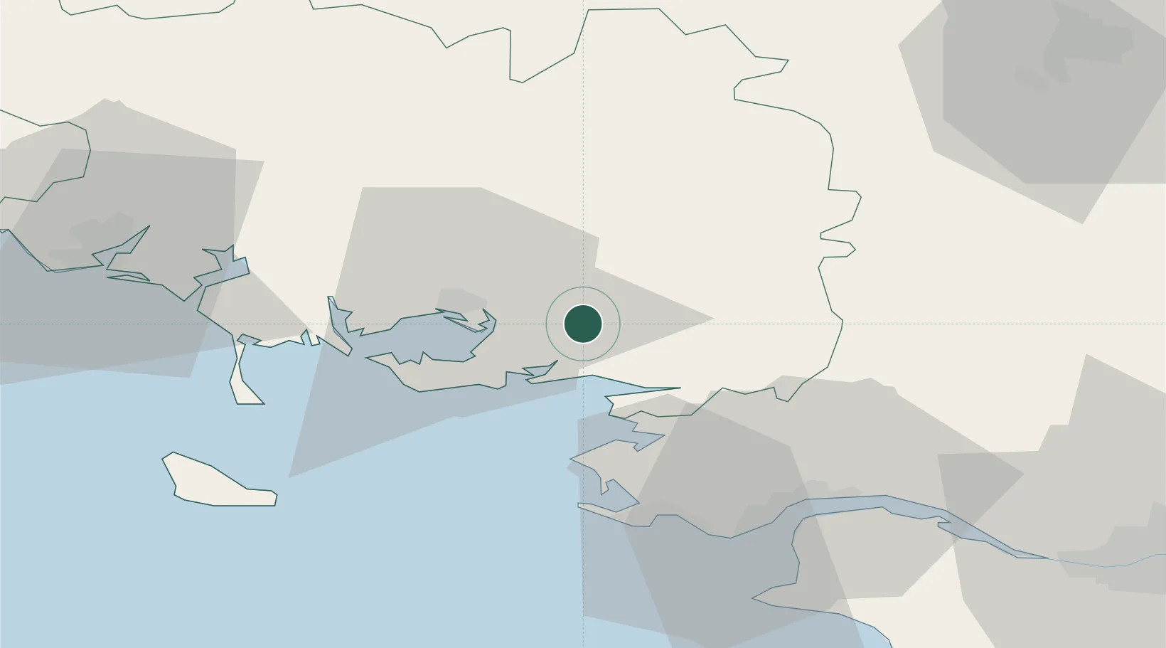
Hub Profile
Place type
Populated place
Region
Brittany
Population
588
Time zone
Europe/Paris
Elevation
49 m
Location
Nearby Logistics Neighbours
Cities
- 1Questembert8 km
- 2Muzillac8 km
- 3Treffléan10 km
- 4Damgan12 km
- 5Péaule13 km
Ports
- 1St Nazaire45 km
- 2Montoir46 km
- 3Donges50 km
- 4Lorient63 km
- 5Nantes86 km
Airports
Trade Zones
- 1ZFU Saint-Nazaire43 km
- 2ZFU Nantes et Saint-Herblain76 km
- 3ZFU Angers146 km
- 4ZFU La Rochelle190 km
- 5ZFU Le Mans203 km
DatabookThe Record of Consolidated Knowledge
France beyond logistics?