Transport Functions
Road
Multimodal
Hub Profile
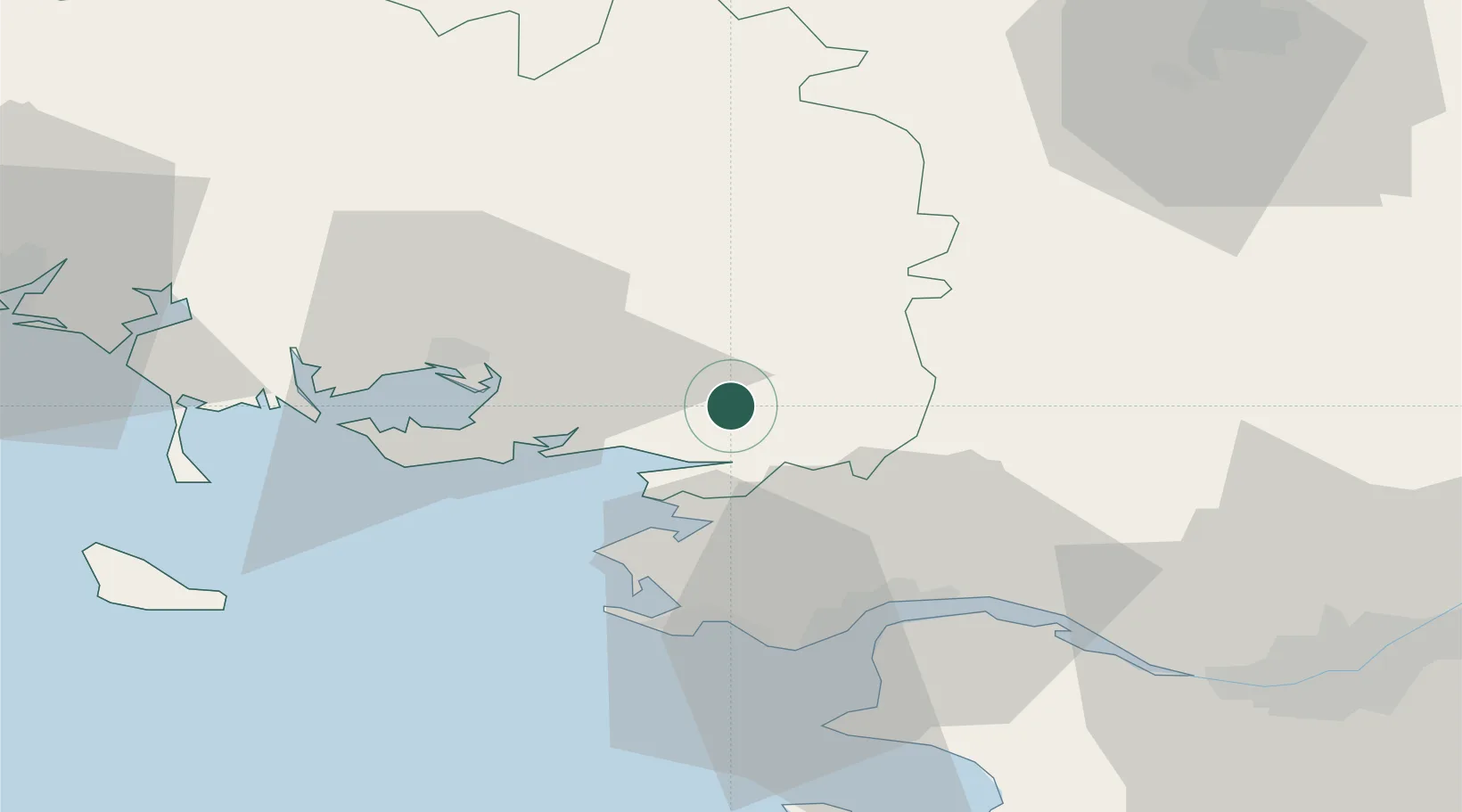
Place type
Populated place
Region
Brittany
Population
2,362
Time zone
Europe/Paris
Elevation
83 m
Location
Nearby Logistics Neighbours
Cities
- 1Arzal7 km
- 2Cournon8 km
- 3Muzillac10 km
- 4Questembert12 km
- 5Lauzach13 km
Ports
- 1St Nazaire36 km
- 2Montoir36 km
- 3Donges39 km
- 4Nantes74 km
- 5Lorient76 km
Airports
Trade Zones
- 1ZFU Saint-Nazaire35 km
- 2ZFU Nantes et Saint-Herblain64 km
- 3ZFU Angers133 km
- 4ZFU La Rochelle181 km
- 5ZFU Le Mans191 km
DatabookThe Record of Consolidated Knowledge
France beyond logistics?