Transport Functions
Multimodal
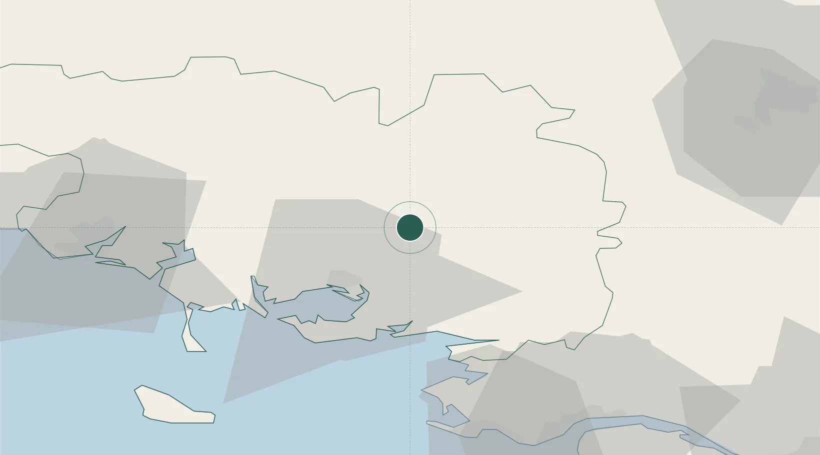
Hub Profile
Place type
Populated place
Region
Brittany
Population
955
Time zone
Europe/Paris
Elevation
84 m
Location
Nearby Logistics Neighbours
Cities
- 1Plumelec8 km
- 2Treffléan11 km
- 3Le Roc-Saint-André12 km
- 4Malestroit15 km
- 5La Chapelle16 km
Ports
- 1Lorient57 km
- 2St Nazaire63 km
- 3Montoir64 km
- 4Donges66 km
- 5Le Legue84 km
Airports
Trade Zones
- 1ZFU Saint-Nazaire61 km
- 2ZFU Nantes et Saint-Herblain91 km
- 3ZFU Angers153 km
- 4ZFU Le Mans203 km
- 5ZFU La Rochelle208 km
DatabookThe Record of Consolidated Knowledge
France beyond logistics?