UN/LOCODE hub · France
FRZKG

Auxonne

47.2000°, 5.3833°
7,958
Population
1
Transport functions

Transport Functions

Multimodal
UN/LOCODE

Hub Profile

Place type
Populated place
GeoNames
Region
Bourgogne
GeoNames
Population
7,958
GeoNames
Time zone
Europe/Paris
GeoNames
Elevation
189 m
GeoNames

Location

Location of FRZKG
Natural Earth 10m (public domain) · Bourgogne · FRZKG · 47.20, 5.38GoogleOSMYandex

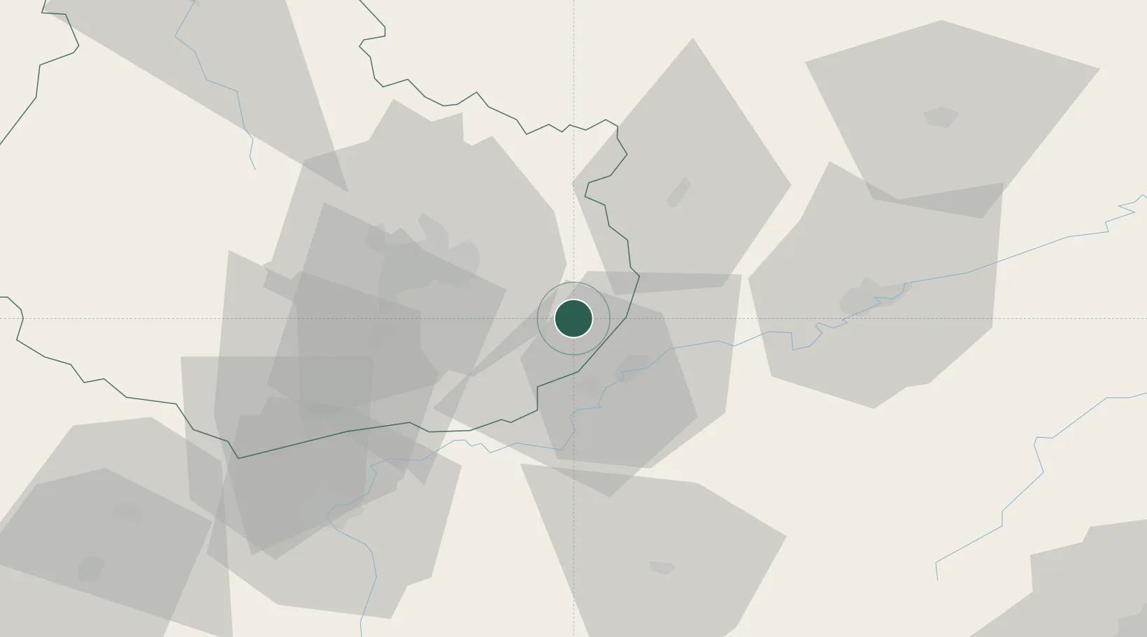
Nearby Logistics Neighbours

Cities
  1. 1Villers-les-Pots3 km
  2. 2Flammerans6 km
  3. 3Vonges11 km
  4. 4Monnières11 km
  5. 5Laperrière-sur-Saône12 km
Nearest neighbours — logibook spatial index (haversine) over the source coordinates
Ports
  1. 1Savona402 km
  2. 2Rada Di Vado404 km
  3. 3Port Of Rouen405 km
  4. 4Bruxelles415 km
  5. 5Genova415 km
Nearest neighbours — logibook spatial index (haversine) over the source coordinates
Airports
  1. 1Dole Tavaux Airport18 km
  2. 2Dijon Longvic airport23 km
  3. 3Vesoul-Frotey Airfield79 km
  4. 4Luxeuil-Saint-Sauveur (BA 116) Air Base98 km
  5. 5Les Eplatures Airport107 km
Nearest neighbours — logibook spatial index (haversine) over the source coordinates
Trade Zones
  1. 1ZFU Chenôve32 km
  2. 2ZFU Besancon47 km
  3. 3PESA - Port-Franc et Entrepôts de Lausanne-Chavornay SA105 km
  4. 4ZFU Montbéliard111 km
  5. 5ZFU Belfort118 km
Nearest neighbours — logibook spatial index (haversine) over the source coordinates
DatabookThe Record of Consolidated Knowledge
France beyond logistics?
Browse databook

All Sources

LocationsUN/LOCODE
UN/LOCODE — free
LocationsGeoNames
CC BY 4.0
Portsthe NGA World Port Index
Public domain (US gov)
AirportsOurAirports
Public domain
Trade Zonesthe World Bank SEZ database
CC BY 4.0
Trade ZonesOpen Zone Map
CC BY
← France locations