Transport Functions
Rail
Road
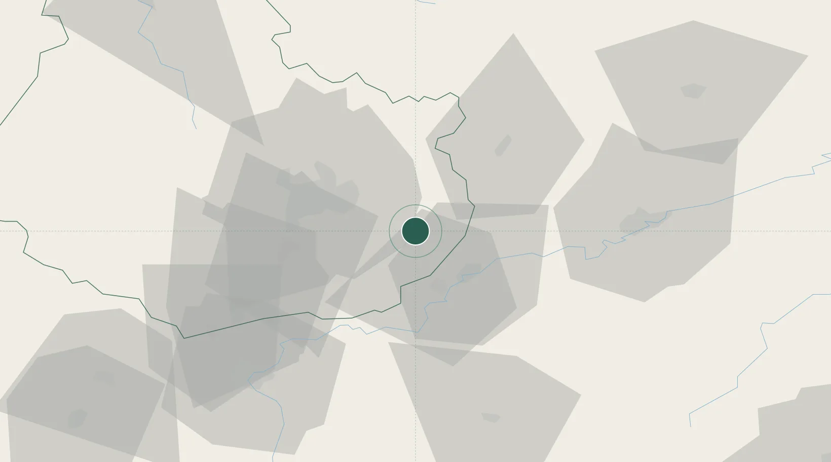
Hub Profile
Place type
Populated place
Region
Bourgogne
Population
919
Time zone
Europe/Paris
Elevation
194 m
Location
Nearby Logistics Neighbours
Cities
- 1Auxonne3 km
- 2Flammerans8 km
- 3Cirey-lès-Pontailler10 km
- 4Vonges10 km
- 5Tart-le-Haut12 km
Ports
- 1Port Of Rouen402 km
- 2Savona405 km
- 3Rada Di Vado407 km
- 4Bruxelles412 km
- 5Genova418 km
Airports
- 1Dijon Longvic airport21 km
- 2Dole Tavaux Airport21 km
- 3Vesoul-Frotey Airfield80 km
- 4Luxeuil-Saint-Sauveur (BA 116) Air Base99 km
- 5Les Eplatures Airport110 km
Trade Zones
- 1ZFU Chenôve29 km
- 2ZFU Besancon50 km
- 3PESA - Port-Franc et Entrepôts de Lausanne-Chavornay SA108 km
- 4ZFU Montbéliard113 km
- 5ZFU Belfort120 km
DatabookThe Record of Consolidated Knowledge
France beyond logistics?