Transport Functions
Port
Multimodal
Hub Profile
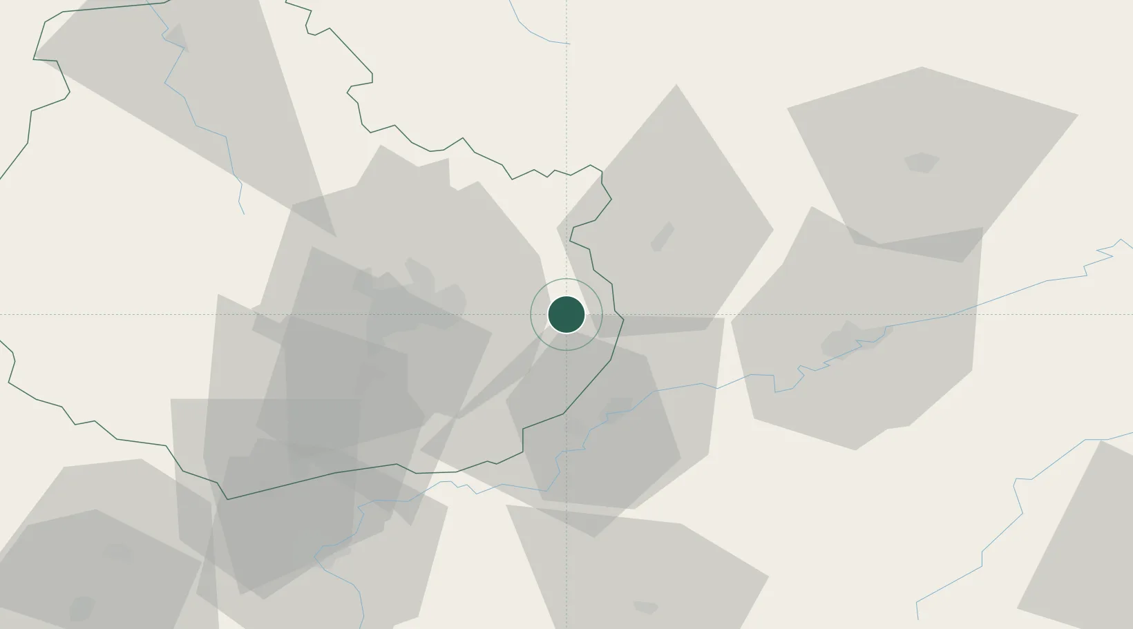
Place type
Populated place
Region
Bourgogne
Population
325
Time zone
Europe/Paris
Elevation
192 m
Location
Nearby Logistics Neighbours
Cities
- 1Cirey-lès-Pontailler8 km
- 2Flammerans8 km
- 3Villers-les-Pots10 km
- 4Auxonne11 km
- 5Mirebeau-sur-Bèze11 km
Ports
- 1Port Of Rouen399 km
- 2Bruxelles404 km
- 3Savona410 km
- 4Rada Di Vado412 km
- 5Genova422 km
Airports
Trade Zones
- 1ZFU Chenôve32 km
- 2ZFU Besancon46 km
- 3ZFU Montbéliard107 km
- 4PESA - Port-Franc et Entrepôts de Lausanne-Chavornay SA110 km
- 5ZFU Belfort112 km
DatabookThe Record of Consolidated Knowledge
France beyond logistics?