UN/LOCODE hub · France
FRSNM

Flammerans

47.2333°, 5.4500°
391
Population
3
Transport functions

Transport Functions

Port
Rail
Road
UN/LOCODE

Hub Profile

Place type
Populated place
GeoNames
Region
Bourgogne
GeoNames
Population
391
GeoNames
Time zone
Europe/Paris
GeoNames
Elevation
198 m
GeoNames

Location

Location of FRSNM
Natural Earth 10m (public domain) · Bourgogne · FRSNM · 47.23, 5.45GoogleOSMYandex

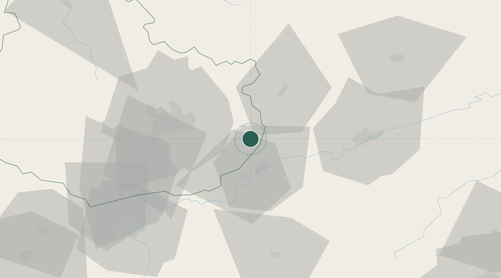
Nearby Logistics Neighbours

Cities
  1. 1Auxonne6 km
  2. 2Villers-les-Pots8 km
  3. 3Vonges8 km
  4. 4Sauvigney-lès-Pesmes12 km
  5. 5Monnières13 km
Nearest neighbours — logibook spatial index (haversine) over the source coordinates
Ports
  1. 1Savona401 km
  2. 2Rada Di Vado404 km
  3. 3Port Of Rouen407 km
  4. 4Bruxelles412 km
  5. 5Genova414 km
Nearest neighbours — logibook spatial index (haversine) over the source coordinates
Airports
  1. 1Dole Tavaux Airport22 km
  2. 2Dijon Longvic airport28 km
  3. 3Vesoul-Frotey Airfield73 km
  4. 4Luxeuil-Saint-Sauveur (BA 116) Air Base92 km
  5. 5Les Eplatures Airport103 km
Nearest neighbours — logibook spatial index (haversine) over the source coordinates
Trade Zones
  1. 1ZFU Chenôve36 km
  2. 2ZFU Besancon42 km
  3. 3PESA - Port-Franc et Entrepôts de Lausanne-Chavornay SA103 km
  4. 4ZFU Montbéliard105 km
  5. 5ZFU Belfort112 km
Nearest neighbours — logibook spatial index (haversine) over the source coordinates
DatabookThe Record of Consolidated Knowledge
France beyond logistics?
Browse databook

All Sources

LocationsUN/LOCODE
UN/LOCODE — free
LocationsGeoNames
CC BY 4.0
Portsthe NGA World Port Index
Public domain (US gov)
AirportsOurAirports
Public domain
Trade Zonesthe World Bank SEZ database
CC BY 4.0
Trade ZonesOpen Zone Map
CC BY
← France locations