UN/LOCODE hub · France
FRRRN

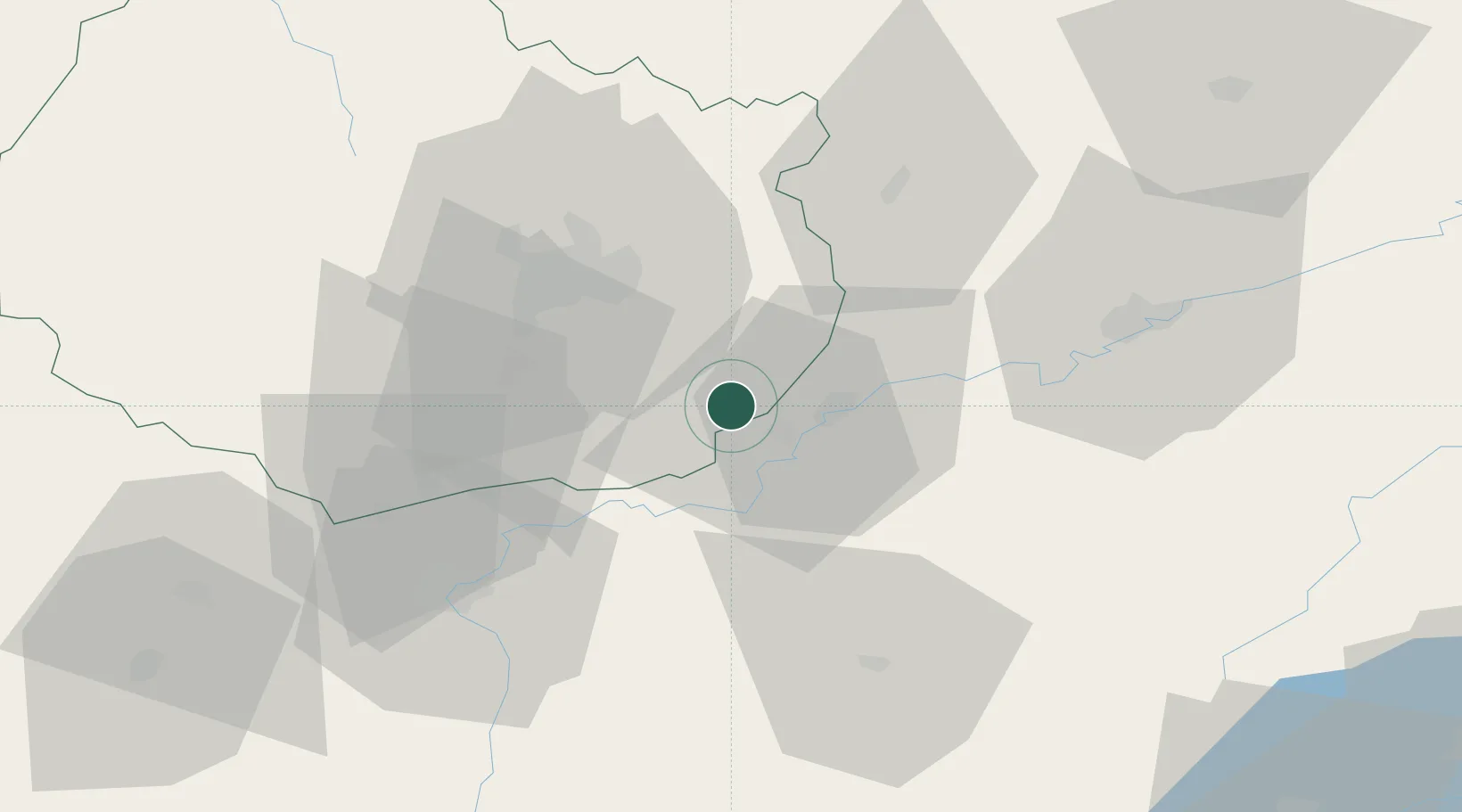
Laperrière-sur-Saône

47.1000°, 5.3333°
310
Population
1
Transport functions

Transport Functions

Multimodal
UN/LOCODE

Hub Profile

Place type
Populated place
GeoNames
Region
Bourgogne
GeoNames
Population
310
GeoNames
Time zone
Europe/Paris
GeoNames
Elevation
196 m
GeoNames

Location

Location of FRRRN
Natural Earth 10m (public domain) · Bourgogne · FRRRN · 47.10, 5.33GoogleOSMYandex

Nearby Logistics Neighbours

Cities
  1. 1Losne5 km
  2. 2Saint-Usage5 km
  3. 3Foucherans9 km
  4. 4Brazey-en-Plaine10 km
  5. 5Monnières10 km
Nearest neighbours — logibook spatial index (haversine) over the source coordinates
Ports
  1. 1Savona395 km
  2. 2Rada Di Vado398 km
  3. 3Nice408 km
  4. 4Monaco408 km
  5. 5Villefranche409 km
Nearest neighbours — logibook spatial index (haversine) over the source coordinates
Airports
  1. 1Dole Tavaux Airport10 km
  2. 2Dijon Longvic airport26 km
  3. 3Vesoul-Frotey Airfield89 km
  4. 4Mâcon-Charnay Airfield98 km
  5. 5Luxeuil-Saint-Sauveur (BA 116) Air Base108 km
Nearest neighbours — logibook spatial index (haversine) over the source coordinates
Trade Zones
  1. 1ZFU Chenôve34 km
  2. 2ZFU Besancon53 km
  3. 3PESA - Port-Franc et Entrepôts de Lausanne-Chavornay SA103 km
  4. 4Geneva Cointrin International Airport Free Port114 km
  5. 5Port Franc de Geneve117 km
Nearest neighbours — logibook spatial index (haversine) over the source coordinates
DatabookThe Record of Consolidated Knowledge
France beyond logistics?
Browse databook

All Sources

LocationsUN/LOCODE
UN/LOCODE — free
LocationsGeoNames
CC BY 4.0
Portsthe NGA World Port Index
Public domain (US gov)
AirportsOurAirports
Public domain
Trade Zonesthe World Bank SEZ database
CC BY 4.0
Trade ZonesOpen Zone Map
CC BY
← France locations