Transport Functions
Port
Multimodal
Hub Profile
Place type
Populated place
Region
Bourgogne
Population
419
Time zone
Europe/Paris
Elevation
279 m
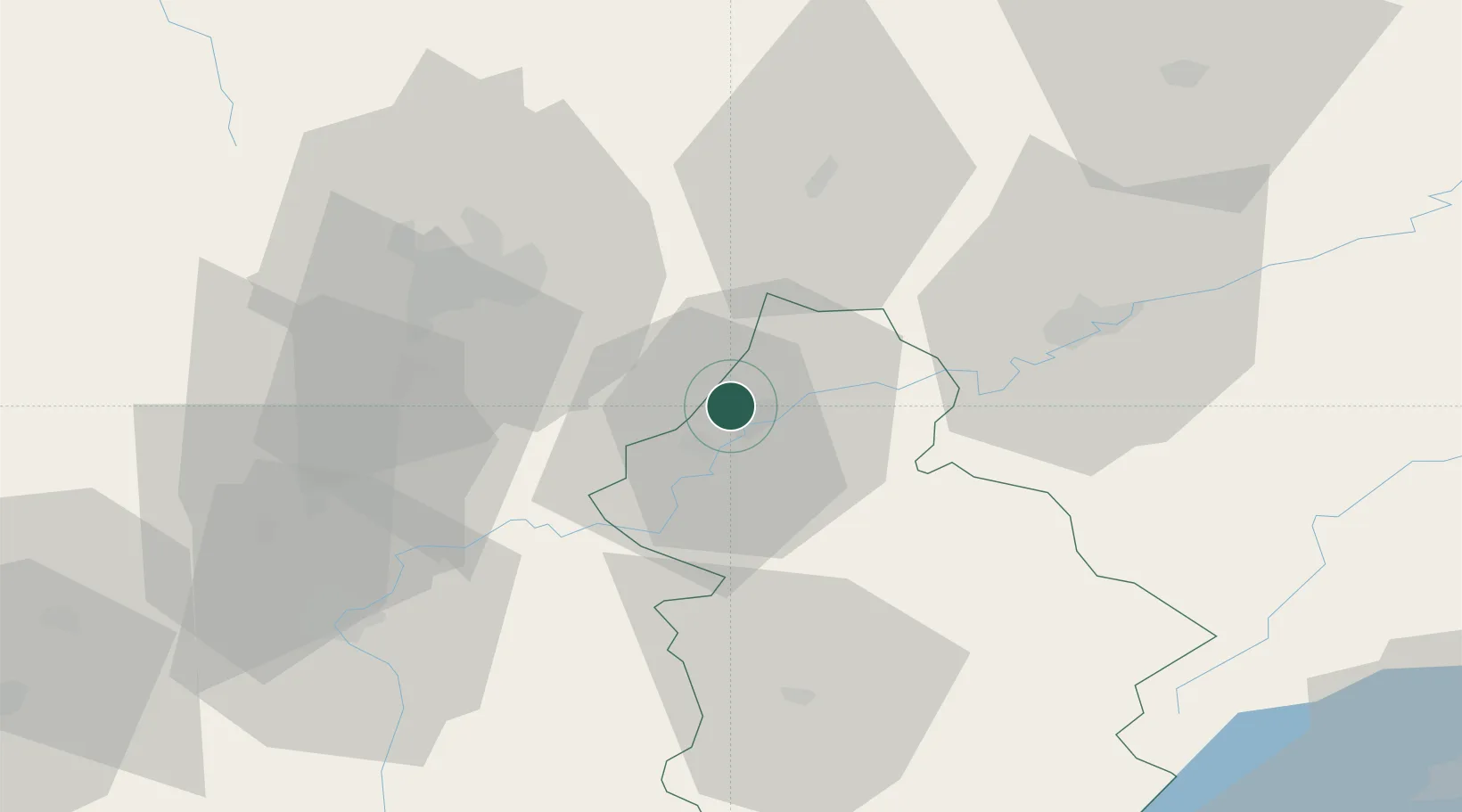
Location
Nearby Logistics Neighbours
Cities
- 1Dole2 km
- 2Foucherans4 km
- 3Lavans-lès-Dole9 km
- 4Laperrière-sur-Saône10 km
- 5Auxonne11 km
Ports
- 1Savona390 km
- 2Rada Di Vado393 km
- 3Genova404 km
- 4Nice406 km
- 5Monaco406 km
Airports
- 1Dole Tavaux Airport9 km
- 2Dijon Longvic airport33 km
- 3Vesoul-Frotey Airfield80 km
- 4Luxeuil-Saint-Sauveur (BA 116) Air Base100 km
- 5Les Eplatures Airport100 km
Trade Zones
- 1ZFU Chenôve41 km
- 2ZFU Besancon43 km
- 3PESA - Port-Franc et Entrepôts de Lausanne-Chavornay SA95 km
- 4ZFU Montbéliard109 km
- 5Port Franc Vevey111 km
DatabookThe Record of Consolidated Knowledge
France beyond logistics?