Transport Functions
Road
Multimodal
Hub Profile
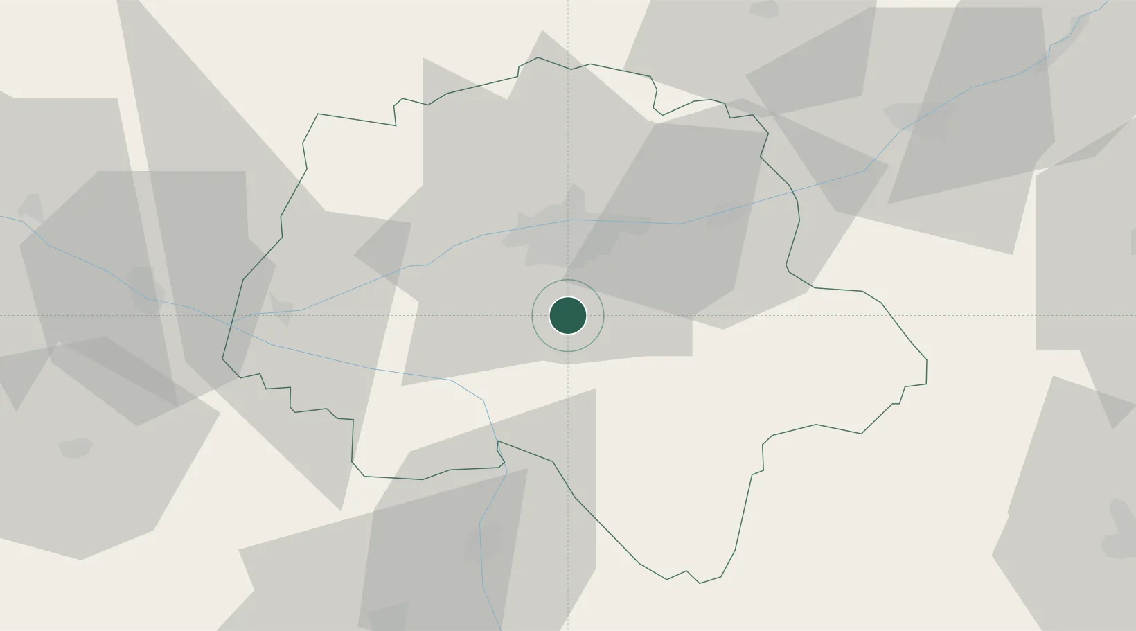
Place type
Populated place
Region
Centre-Val de Loire
Population
2,105
Time zone
Europe/Paris
Elevation
97 m
Location
Nearby Logistics Neighbours
Cities
- 1Montbazon6 km
- 2Esvres8 km
- 3Truyes11 km
- 4Chambray-lès-Tours11 km
- 5Saché11 km
Ports
- 1Nantes171 km
- 2La Rochelle186 km
- 3La Pallice188 km
- 4Tonnay Charente189 km
- 5Rochefort192 km
Airports
- 1Tours Val de Loire Airport22 km
- 2Poitiers-Biard Airport78 km
- 3Angers Marcé airport84 km
- 4Le Mans-Arnage Airport88 km
- 5Châteauroux Déols airport88 km
Trade Zones
- 1ZFU Blois58 km
- 2ZFU Le Mans94 km
- 3ZFU Angers102 km
- 4ZFU Orléans111 km
- 5ZFU Bourges124 km
DatabookThe Record of Consolidated Knowledge
France beyond logistics?