Transport Functions
Rail
Road
Hub Profile
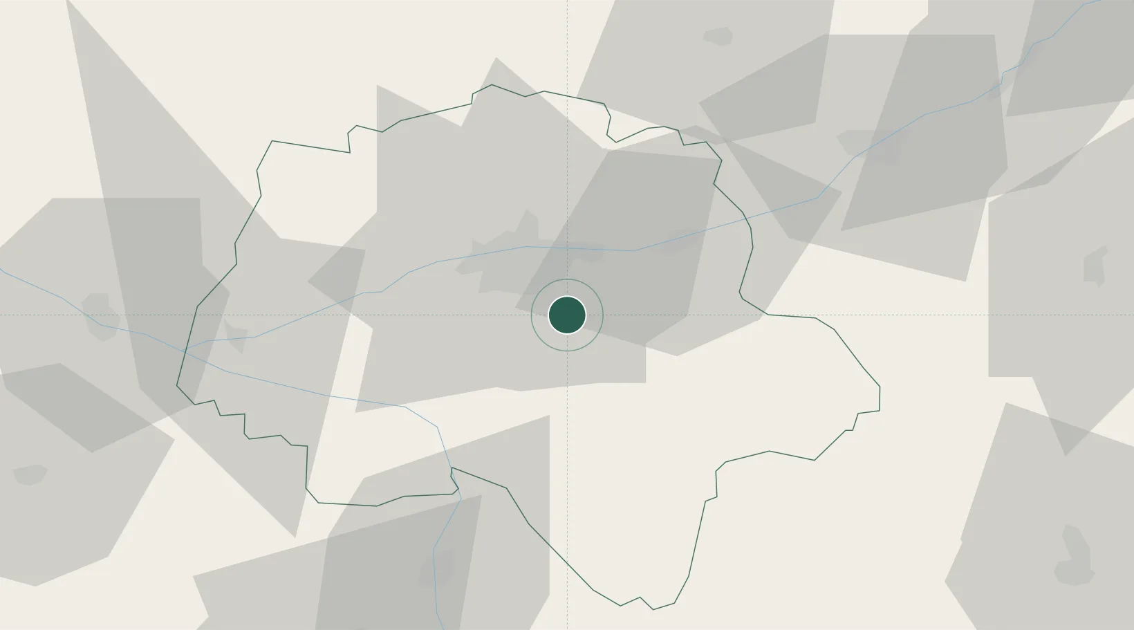
Place type
Populated place
Region
Centre-Val de Loire
Population
4,492
Time zone
Europe/Paris
Elevation
74 m
Location
Nearby Logistics Neighbours
Cities
- 1Truyes4 km
- 2Montbazon5 km
- 3Chambray-lès-Tours8 km
- 4Sorigny8 km
- 5Azay-sur-Cher9 km
Ports
- 1Nantes178 km
- 2La Rochelle194 km
- 3La Pallice197 km
- 4Tonnay Charente198 km
- 5Rochefort200 km
Airports
- 1Tours Val de Loire Airport17 km
- 2Poitiers-Biard Airport85 km
- 3Châteauroux Déols airport86 km
- 4Le Mans-Arnage Airport86 km
- 5Angers Marcé airport88 km
Trade Zones
- 1ZFU Blois49 km
- 2ZFU Le Mans92 km
- 3ZFU Orléans103 km
- 4ZFU Angers106 km
- 5ZFU Bourges119 km
DatabookThe Record of Consolidated Knowledge
France beyond logistics?