Transport Functions
Rail
Road
Hub Profile
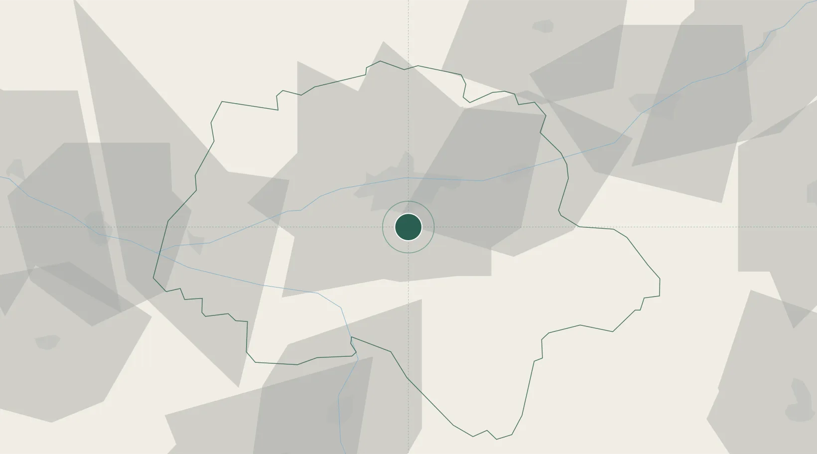
Place type
Populated place
Region
Centre-Val de Loire
Population
3,777
Time zone
Europe/Paris
Elevation
66 m
Location
Nearby Logistics Neighbours
Cities
- 1Esvres5 km
- 2Chambray-lès-Tours6 km
- 3Sorigny6 km
- 4Truyes9 km
- 5Larçay11 km
Ports
- 1Nantes173 km
- 2La Rochelle190 km
- 3La Pallice193 km
- 4Tonnay Charente194 km
- 5Rochefort197 km
Airports
- 1Tours Val de Loire Airport17 km
- 2Angers Marcé airport83 km
- 3Poitiers-Biard Airport83 km
- 4Le Mans-Arnage Airport83 km
- 5Châteauroux Déols airport90 km
Trade Zones
- 1ZFU Blois53 km
- 2ZFU Le Mans89 km
- 3ZFU Angers101 km
- 4ZFU Orléans107 km
- 5ZFU Bourges124 km
DatabookThe Record of Consolidated Knowledge
France beyond logistics?