Transport Functions
Port
Rail
Hub Profile
Place type
Provincial seat
Region
Grand Est
Population
18,595
Time zone
Europe/Paris
Elevation
185 m
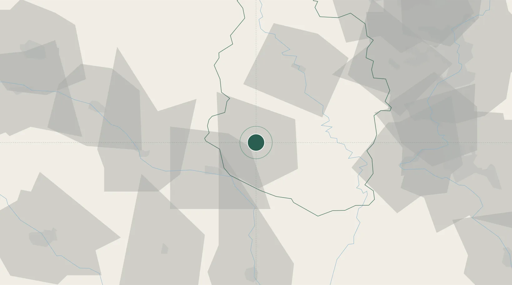
Location
Nearby Logistics Neighbours
Cities
- 1Revigny-sur-Ornain14 km
- 2Ligny-en-Barrois17 km
- 3Sermaize-les-Bains18 km
- 4Cousances-les-Forges21 km
- 5Roches-sur-Marne22 km
Airports
Trade Zones
DatabookThe Record of Consolidated Knowledge
France beyond logistics?