UN/LOCODE hub · France
FRZHD
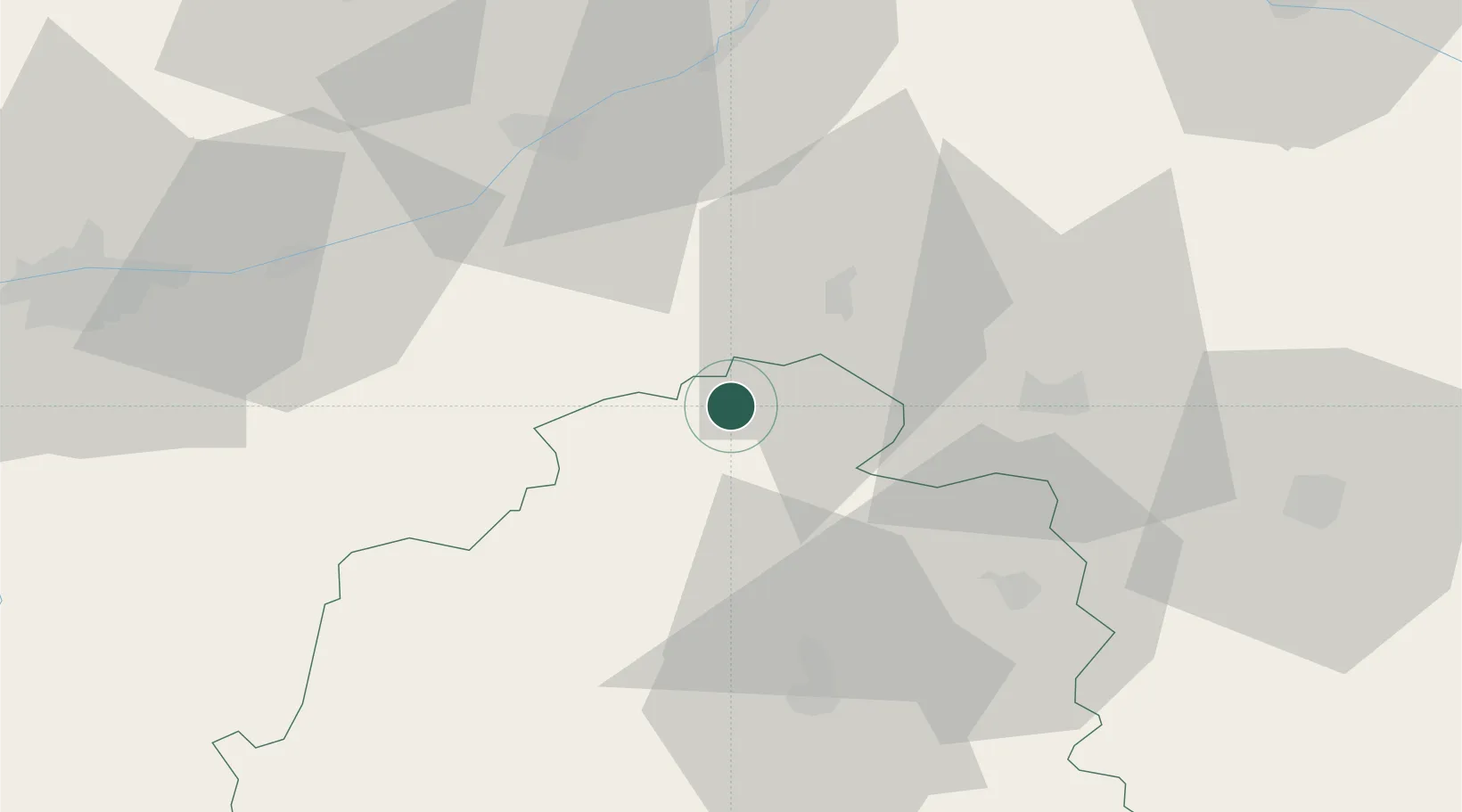
Varennes-sur-Fouzon
47.2167°, 1.6000°
697
Population
1
Transport functions
Transport Functions
Multimodal
Hub Profile
Place type
Populated place
Region
Centre-Val de Loire
Population
697
Time zone
Europe/Paris
Elevation
89 m
Location
Nearby Logistics Neighbours
Cities
- 1Chabris5 km
- 2Selles-sur-Cher7 km
- 3Gièvres8 km
- 4Châtillon-sur-Cher9 km
- 5Meusnes10 km
Ports
- 1Tonnay Charente239 km
- 2Nantes239 km
- 3La Rochelle241 km
- 4Rochefort242 km
- 5La Pallice245 km
Airports
- 1Châteauroux Déols airport41 km
- 2Bourges airport61 km
- 3Tours Val de Loire Airport70 km
- 4Avord (BA 702) Air Base80 km
- 5Orléans-Bricy (BA 123) Air Base87 km
Trade Zones
- 1ZFU Blois48 km
- 2ZFU Bourges57 km
- 3ZFU Orléans75 km
- 4ZFU Le Mans140 km
- 5ZFU Montereau-Fault-Yonne165 km
DatabookThe Record of Consolidated Knowledge
France beyond logistics?