Transport Functions
Rail
Road
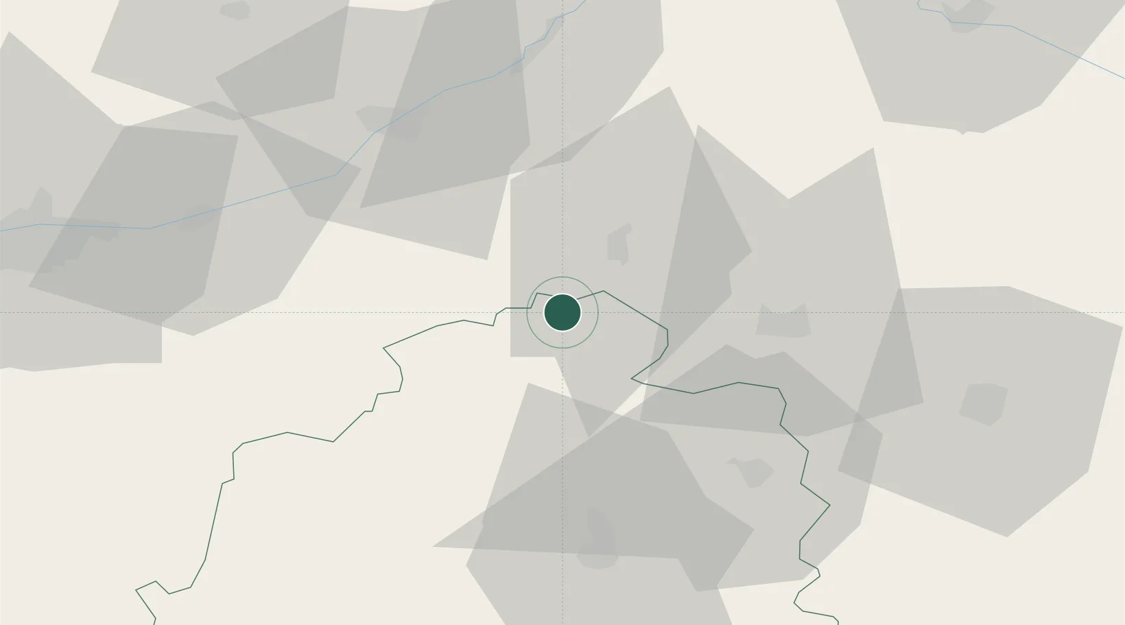
Hub Profile
Place type
Populated place
Region
Centre-Val de Loire
Population
2,668
Time zone
Europe/Paris
Elevation
86 m
Location
Nearby Logistics Neighbours
Cities
- 1Gièvres2 km
- 2Varennes-sur-Fouzon5 km
- 3Selles-sur-Cher8 km
- 4Châtillon-sur-Cher12 km
- 5Meusnes13 km
Ports
- 1Nantes243 km
- 2Tonnay Charente244 km
- 3La Rochelle246 km
- 4Rochefort247 km
- 5Port Of Rouen248 km
Airports
- 1Châteauroux Déols airport44 km
- 2Bourges airport58 km
- 3Tours Val de Loire Airport72 km
- 4Avord (BA 702) Air Base77 km
- 5Orléans-Bricy (BA 123) Air Base83 km
Trade Zones
- 1ZFU Blois47 km
- 2ZFU Bourges55 km
- 3ZFU Orléans71 km
- 4ZFU Le Mans140 km
- 5ZFU Montereau-Fault-Yonne159 km
DatabookThe Record of Consolidated Knowledge
France beyond logistics?