Transport Functions
Multimodal
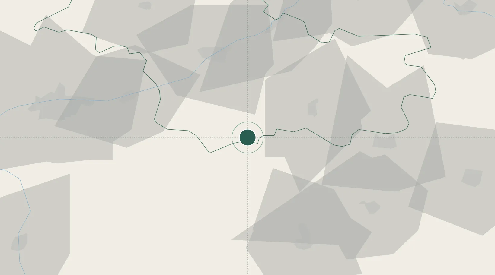
Hub Profile
Place type
Populated place
Region
Centre-Val de Loire
Population
986
Time zone
Europe/Paris
Elevation
85 m
Location
Nearby Logistics Neighbours
Cities
- 1Châtillon-sur-Cher2 km
- 2Couffy4 km
- 3Selles-sur-Cher5 km
- 4Seigy7 km
- 5Noyers-sur-Cher7 km
Ports
- 1Nantes230 km
- 2Tonnay Charente234 km
- 3La Rochelle235 km
- 4Rochefort237 km
- 5La Pallice239 km
Airports
- 1Châteauroux Déols airport47 km
- 2Tours Val de Loire Airport60 km
- 3Bourges airport70 km
- 4Orléans-Bricy (BA 123) Air Base85 km
- 5Avord (BA 702) Air Base90 km
Trade Zones
- 1ZFU Blois40 km
- 2ZFU Bourges67 km
- 3ZFU Orléans74 km
- 4ZFU Le Mans130 km
- 5ZFU Angers159 km
DatabookThe Record of Consolidated Knowledge
France beyond logistics?