Transport Functions
Road
Multimodal
Hub Profile
Place type
Populated place
Region
Centre-Val de Loire
Population
4,933
Time zone
Europe/Paris
Elevation
80 m
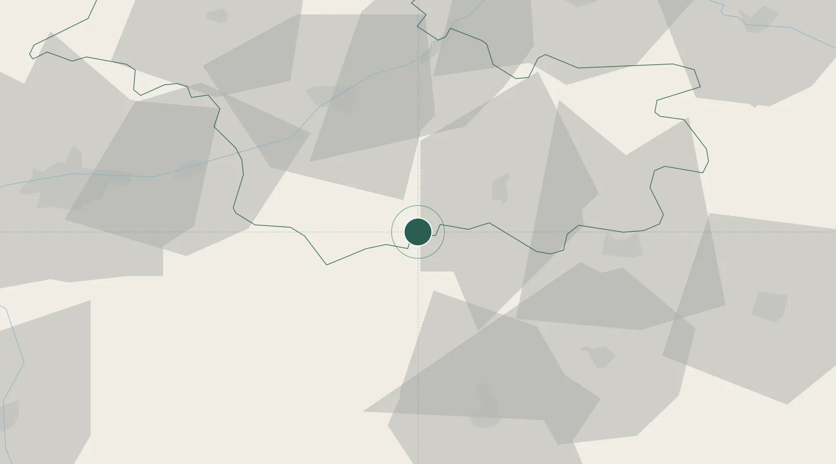
Location
Nearby Logistics Neighbours
Cities
- 1Châtillon-sur-Cher4 km
- 2Meusnes5 km
- 3Varennes-sur-Fouzon7 km
- 4Chabris8 km
- 5Gièvres9 km
Ports
- 1Nantes235 km
- 2Tonnay Charente239 km
- 3La Rochelle240 km
- 4Rochefort242 km
- 5La Pallice244 km
Airports
- 1Châteauroux Déols airport47 km
- 2Tours Val de Loire Airport65 km
- 3Bourges airport66 km
- 4Orléans-Bricy (BA 123) Air Base82 km
- 5Avord (BA 702) Air Base85 km
Trade Zones
- 1ZFU Blois41 km
- 2ZFU Bourges62 km
- 3ZFU Orléans71 km
- 4ZFU Le Mans133 km
- 5ZFU Corbeil-Evry162 km
DatabookThe Record of Consolidated Knowledge
France beyond logistics?