UN/LOCODE hub · France
FRCC8
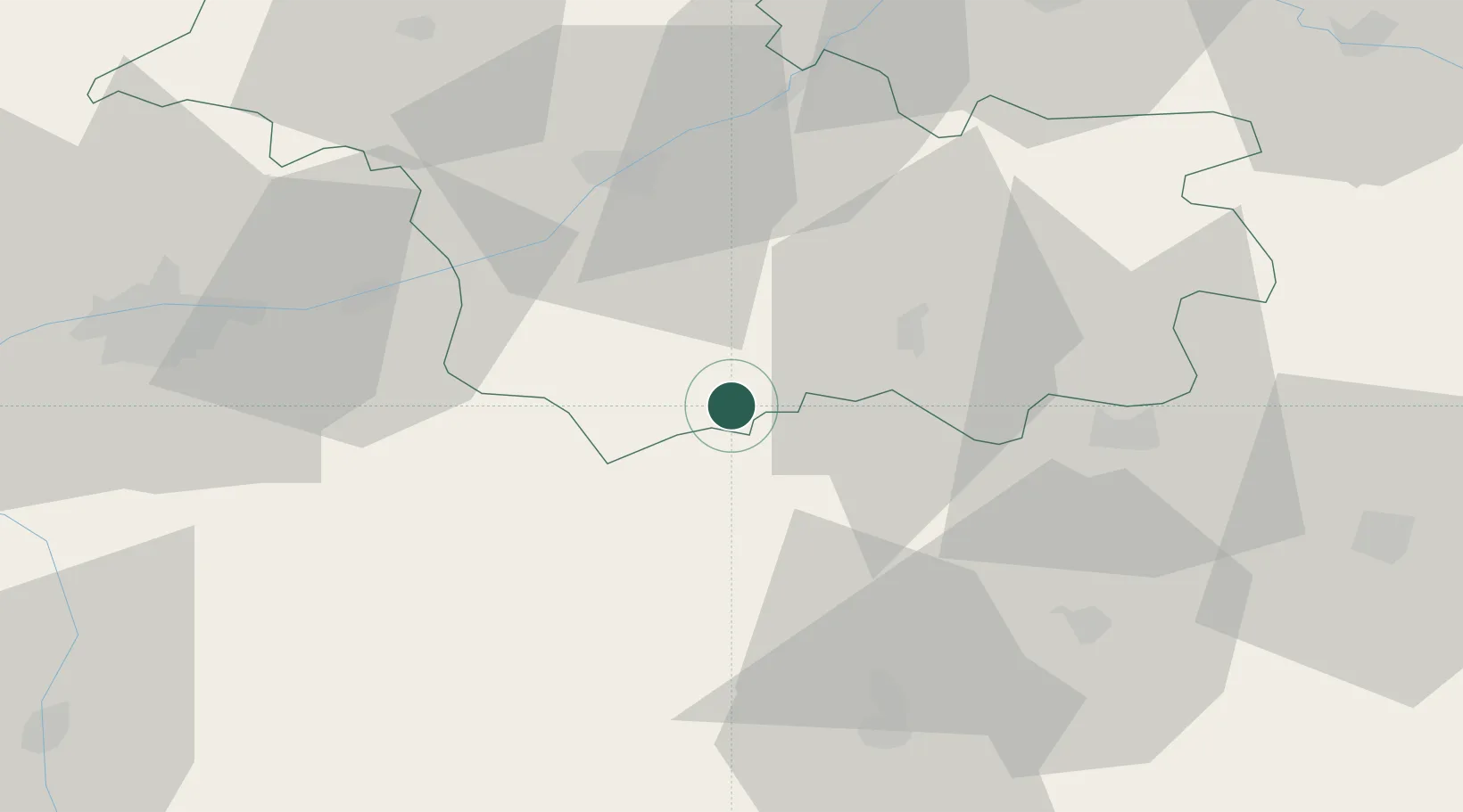
Châtillon-sur-Cher
47.2667°, 1.5000°
1,538
Population
2
Transport functions
Transport Functions
Road
Multimodal
Hub Profile
Place type
Populated place
Region
Centre-Val de Loire
Population
1,538
Time zone
Europe/Paris
Elevation
111 m
Location
Nearby Logistics Neighbours
Cities
- 1Meusnes2 km
- 2Selles-sur-Cher4 km
- 3Couffy5 km
- 4Noyers-sur-Cher8 km
- 5Seigy8 km
Ports
- 1Nantes232 km
- 2Tonnay Charente236 km
- 3La Rochelle237 km
- 4Rochefort239 km
- 5La Pallice241 km
Airports
- 1Châteauroux Déols airport48 km
- 2Tours Val de Loire Airport61 km
- 3Bourges airport70 km
- 4Orléans-Bricy (BA 123) Air Base83 km
- 5Châteaudun Airfield88 km
Trade Zones
- 1ZFU Blois39 km
- 2ZFU Bourges66 km
- 3ZFU Orléans72 km
- 4ZFU Le Mans130 km
- 5ZFU Angers160 km
DatabookThe Record of Consolidated Knowledge
France beyond logistics?