UN/LOCODE hub · France
FRZFY
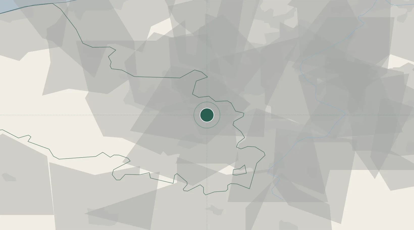
Noyelles-sous-Lens
50.4333°, 2.8667°
7,467
Population
1
Transport functions
Transport Functions
Multimodal
Hub Profile
Place type
Populated place
Region
Hauts-de-France
Population
7,467
Time zone
Europe/Paris
Elevation
26 m
Location
Nearby Logistics Neighbours
Cities
- 1Sallaumines2 km
- 2Lens2 km
- 3Harnes3 km
- 4Billy-Montigny3 km
- 5Fouquières-lès-Lens4 km
Ports
- 1Nieuwpoort78 km
- 2Dunkerque Port Est79 km
- 3Gravelines82 km
- 4Oostende89 km
- 5Bruges92 km
Airports
DatabookThe Record of Consolidated Knowledge
France beyond logistics?