Transport Functions
Port
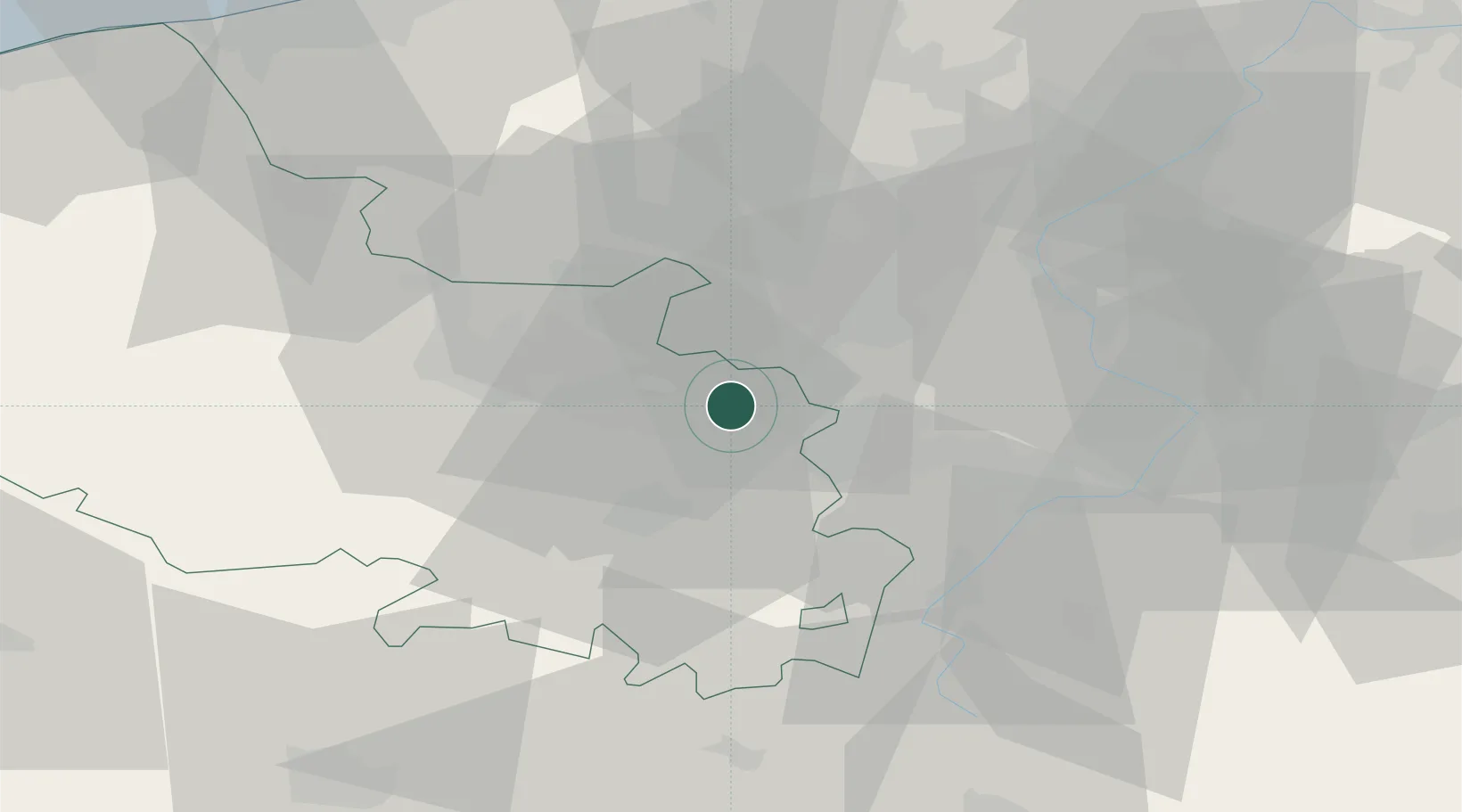
Hub Profile
Place type
Populated place
Region
Hauts-de-France
Population
13,569
Time zone
Europe/Paris
Elevation
35 m
Location
Nearby Logistics Neighbours
Cities
- 1Pont-à-Vendin2 km
- 2Fouquières-lès-Lens2 km
- 3Noyelles-sous-Lens3 km
- 4Billy-Montigny4 km
- 5Sallaumines4 km
Ports
- 1Nieuwpoort77 km
- 2Dunkerque Port Est79 km
- 3Gravelines82 km
- 4Oostende87 km
- 5Bruges90 km
Airports
DatabookThe Record of Consolidated Knowledge
France beyond logistics?