Transport Functions
Rail
Road
Hub Profile
Place type
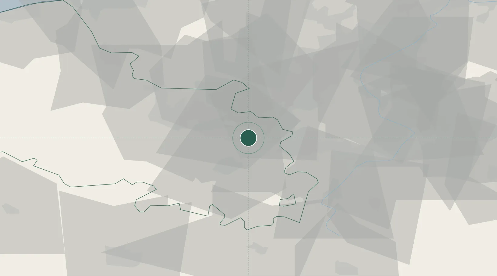
Populated place
Region
Hauts-de-France
Population
10,637
Time zone
Europe/Paris
Elevation
40 m
Location
Nearby Logistics Neighbours
Cities
- 1Noyelles-sous-Lens2 km
- 2Billy-Montigny2 km
- 3Lens3 km
- 4Fouquières-lès-Lens4 km
- 5Harnes4 km
Ports
- 1Nieuwpoort80 km
- 2Dunkerque Port Est81 km
- 3Gravelines84 km
- 4Oostende91 km
- 5Saint-Valery-Sur-Somme93 km
Airports
DatabookThe Record of Consolidated Knowledge
France beyond logistics?