Transport Functions
Rail
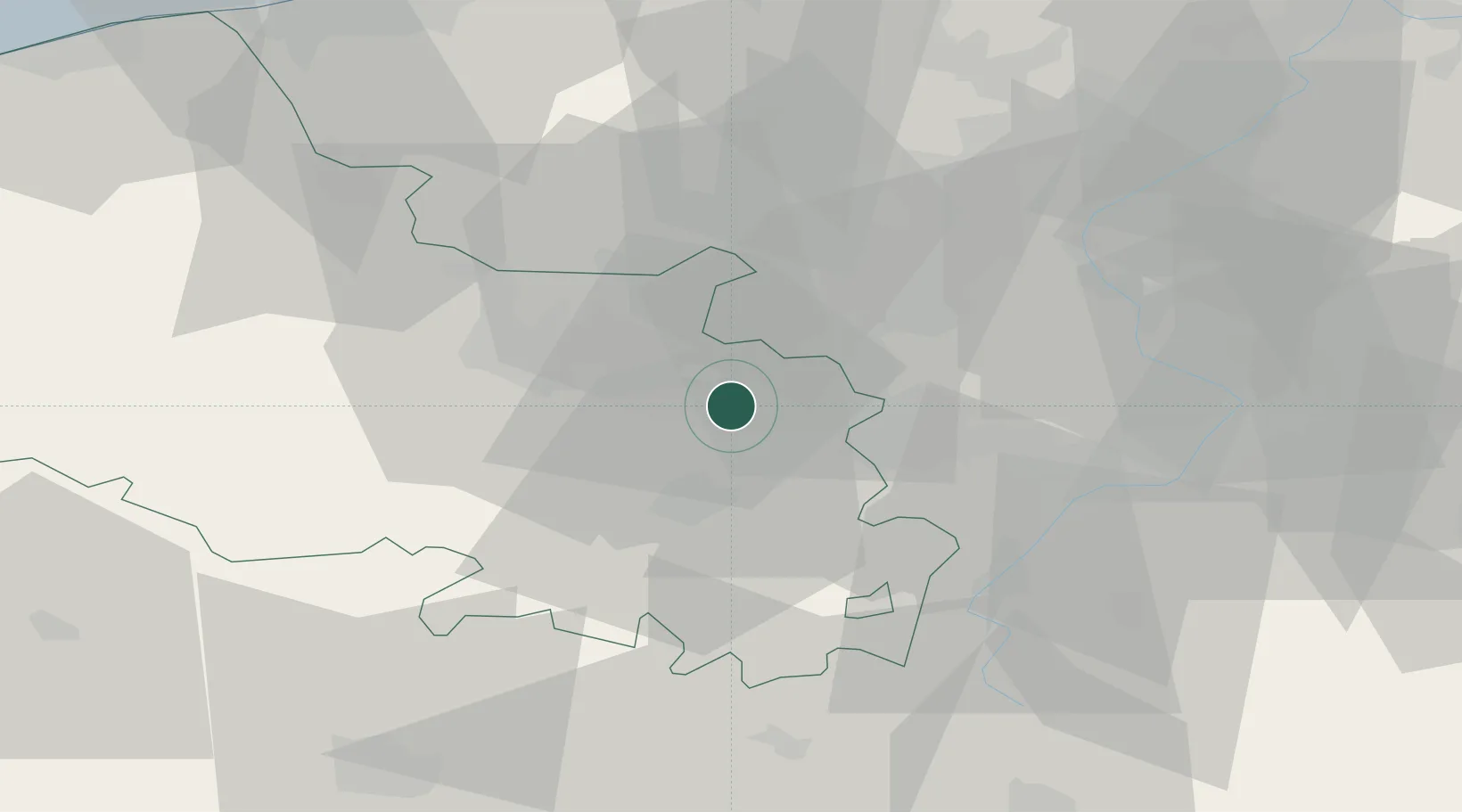
Hub Profile
Place type
District seat
Region
Hauts-de-France
Population
38,265
Time zone
Europe/Paris
Elevation
37 m
Location
Nearby Logistics Neighbours
Cities
- 1Noyelles-sous-Lens2 km
- 2Éleu-dit-Leauwette3 km
- 3Sallaumines3 km
- 4Harnes5 km
- 5Billy-Montigny5 km
Ports
- 1Nieuwpoort78 km
- 2Dunkerque Port Est78 km
- 3Gravelines81 km
- 4Oostende89 km
- 5Saint-Valery-Sur-Somme91 km
Airports
DatabookThe Record of Consolidated Knowledge
France beyond logistics?