UN/LOCODE hub · France
FRZFP
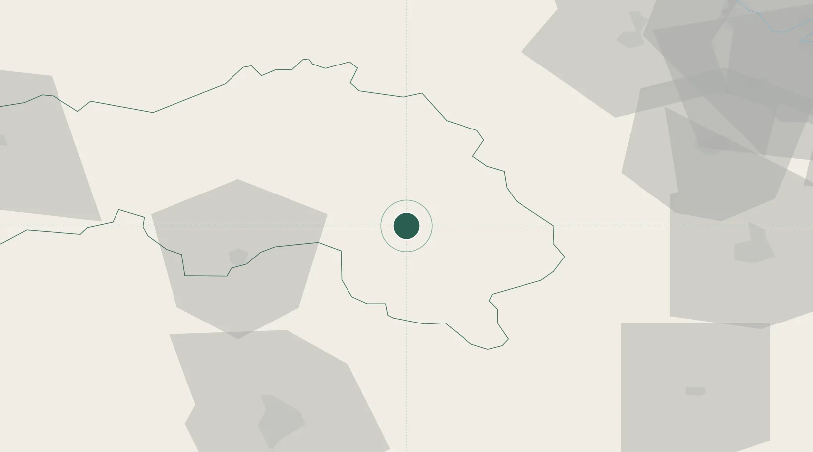
Mortagne-au-Perche
48.5167°, 0.5500°
4,893
Population
1
Transport functions
Transport Functions
Multimodal
Hub Profile
Place type
District seat
Region
Normandy
Population
4,893
Time zone
Europe/Paris
Elevation
251 m
Location
Nearby Logistics Neighbours
Cities
- 1L'Hôme-Chamondot14 km
- 2Longny-au-Perche15 km
- 3Sérigny17 km
- 4La Fresnaye-sur-Chédouet23 km
- 5Boisthorel26 km
Ports
- 1Port De Caen99 km
- 2Deauville101 km
- 3Honfleur103 km
- 4Ouistreham103 km
- 5Port Of Rouen110 km
Airports
- 1Le Mans-Arnage Airport68 km
- 2Évreux-Fauville (BA 105) Air Base75 km
- 3Châteaudun Airfield80 km
- 4Deauville Normandie airport99 km
- 5Caen Carpiquet airport104 km
Trade Zones
- 1ZFU Alençon36 km
- 2ZFU Dreux et Sainte-Gemme-Moronval66 km
- 3ZFU Le Mans67 km
- 4ZFU Évreux72 km
- 5ZFU Mantes-la-Jolie100 km
DatabookThe Record of Consolidated Knowledge
France beyond logistics?