Transport Functions
Multimodal
Hub Profile
Place type
Populated place
Region
Normandy
Time zone
Europe/Paris
Elevation
228 m
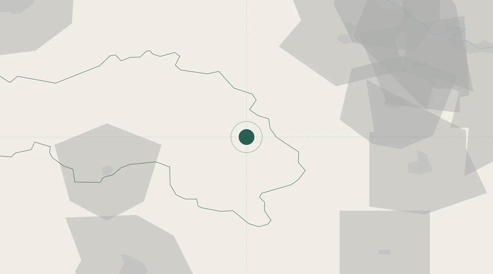
Location
Nearby Logistics Neighbours
Cities
- 1Longny-au-Perche6 km
- 2Mortagne-au-Perche14 km
- 3L'Oserie18 km
- 4Boisthorel22 km
- 5Bourth22 km
Ports
- 1Deauville99 km
- 2Honfleur100 km
- 3Port Of Rouen100 km
- 4Port De Caen103 km
- 5Ouistreham105 km
Airports
Trade Zones
- 1ZFU Alençon50 km
- 2ZFU Dreux et Sainte-Gemme-Moronval52 km
- 3ZFU Évreux59 km
- 4ZFU Le Mans80 km
- 5ZFU Mantes-la-Jolie86 km
DatabookThe Record of Consolidated Knowledge
France beyond logistics?