UN/LOCODE hub · France
FRRRH

Boisthorel

48.7500°, 0.5667°
1
Transport functions

Transport Functions

Multimodal
UN/LOCODE

Hub Profile

Region
61
GeoNames

Location

Location of FRRRH
Natural Earth 10m (public domain) · 61 · FRRRH · 48.75, 0.57GoogleOSMYandex

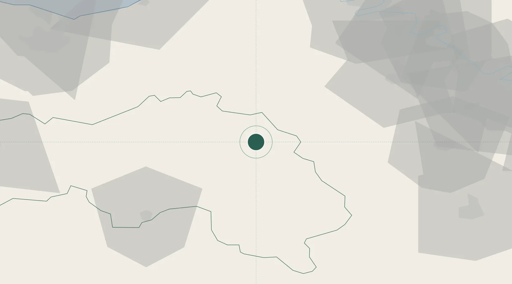
Nearby Logistics Neighbours

Cities
  1. 1Montsecret8 km
  2. 2Bourth18 km
  3. 3L'Hôme-Chamondot22 km
  4. 4La Neuve-Lyre23 km
  5. 5Mortagne-au-Perche26 km
Nearest neighbours — logibook spatial index (haversine) over the source coordinates
Ports
  1. 1Deauville77 km
  2. 2Honfleur78 km
  3. 3Port De Caen83 km
  4. 4Ouistreham84 km
  5. 5Port Of Rouen86 km
Nearest neighbours — logibook spatial index (haversine) over the source coordinates
Airports
  1. 1Évreux-Fauville (BA 105) Air Base57 km
  2. 2Deauville Normandie airport75 km
  3. 3Rouen Vallée de Seine Airport84 km
  4. 4Caen Carpiquet airport88 km
  5. 5Le Mans-Arnage Airport93 km
Nearest neighbours — logibook spatial index (haversine) over the source coordinates
Trade Zones
  1. 1ZFU Alençon51 km
  2. 2ZFU Évreux53 km
  3. 3ZFU Dreux et Sainte-Gemme-Moronval60 km
  4. 4ZFU Hérouville-Saint-Clair84 km
  5. 5ZFU La Guérinière, La Grâce de Dieu86 km
Nearest neighbours — logibook spatial index (haversine) over the source coordinates
DatabookThe Record of Consolidated Knowledge
France beyond logistics?
Browse databook

All Sources

LocationsUN/LOCODE
UN/LOCODE — free
Portsthe NGA World Port Index
Public domain (US gov)
AirportsOurAirports
Public domain
Trade Zonesthe World Bank SEZ database
CC BY 4.0
Trade ZonesOpen Zone Map
CC BY
← France locations