UN/LOCODE hub · France
FRZAX

Longny-au-Perche

48.5333°, 0.7500°
1,630
Population
2
Transport functions

Transport Functions

Road
Multimodal
UN/LOCODE

Hub Profile

Place type
Populated place
GeoNames
Region
Normandy
GeoNames
Population
1,630
GeoNames
Time zone
Europe/Paris
GeoNames
Elevation
167 m
GeoNames

Location

Location of FRZAX
Natural Earth 10m (public domain) · Normandy · FRZAX · 48.53, 0.75GoogleOSMYandex

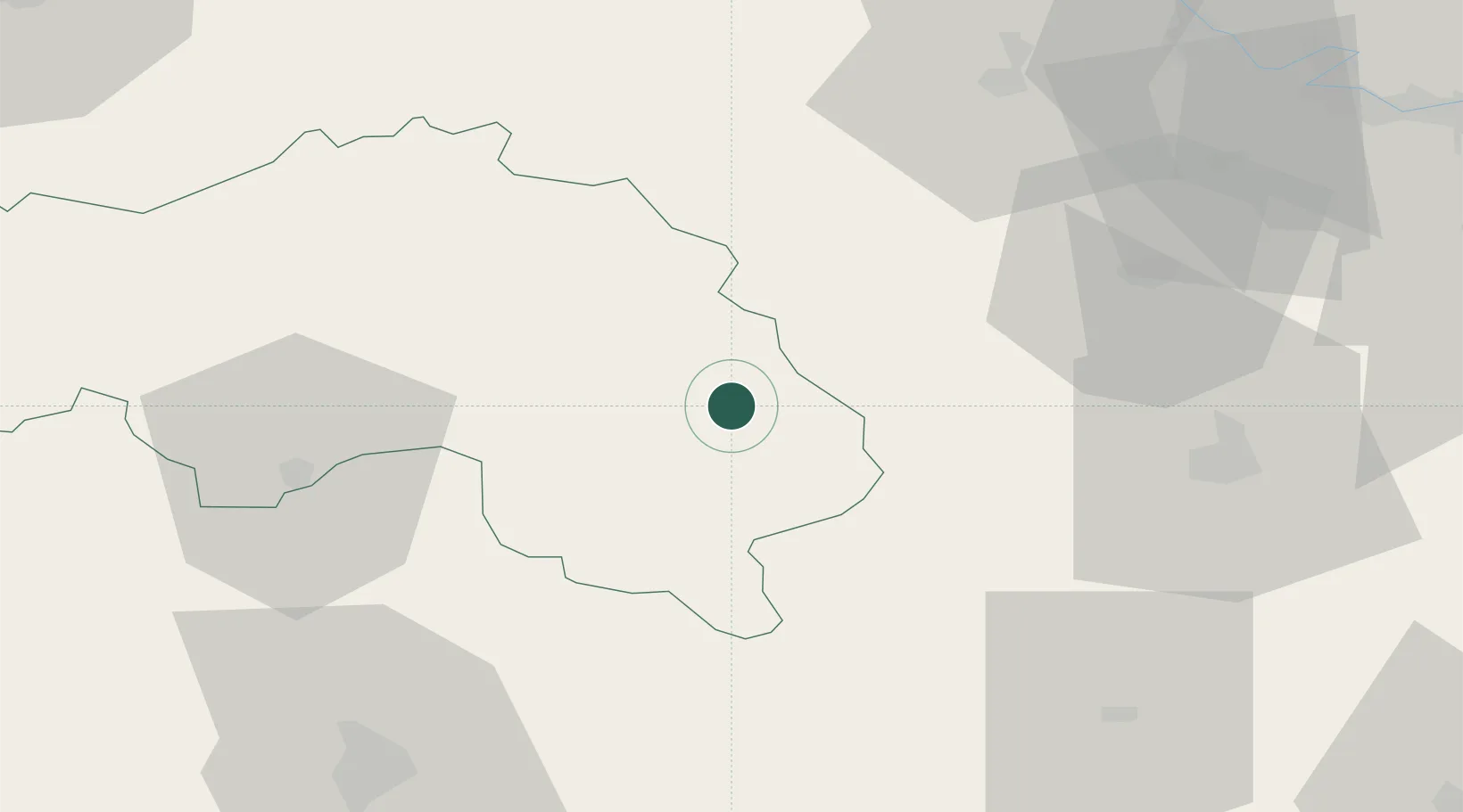
Nearby Logistics Neighbours

Cities
  1. 1L'Hôme-Chamondot6 km
  2. 2L'Oserie15 km
  3. 3Mortagne-au-Perche15 km
  4. 4Sérigny22 km
  5. 5La Grande Motte24 km
Nearest neighbours — logibook spatial index (haversine) over the source coordinates
Ports
  1. 1Port Of Rouen105 km
  2. 2Deauville105 km
  3. 3Honfleur106 km
  4. 4Port De Caen108 km
  5. 5Ouistreham111 km
Nearest neighbours — logibook spatial index (haversine) over the source coordinates
Airports
  1. 1Évreux-Fauville (BA 105) Air Base65 km
  2. 2Châteaudun Airfield70 km
  3. 3Le Mans-Arnage Airport77 km
  4. 4Orléans-Bricy (BA 123) Air Base96 km
  5. 5Rouen Vallée de Seine Airport100 km
Nearest neighbours — logibook spatial index (haversine) over the source coordinates
Trade Zones
  1. 1ZFU Alençon51 km
  2. 2ZFU Dreux et Sainte-Gemme-Moronval52 km
  3. 3ZFU Évreux62 km
  4. 4ZFU Le Mans77 km
  5. 5ZFU Mantes-la-Jolie87 km
Nearest neighbours — logibook spatial index (haversine) over the source coordinates
DatabookThe Record of Consolidated Knowledge
France beyond logistics?
Browse databook

All Sources

LocationsUN/LOCODE
UN/LOCODE — free
LocationsGeoNames
CC BY 4.0
Portsthe NGA World Port Index
Public domain (US gov)
AirportsOurAirports
Public domain
Trade Zonesthe World Bank SEZ database
CC BY 4.0
Trade ZonesOpen Zone Map
CC BY
← France locations