UN/LOCODE hub · France
FRTLF
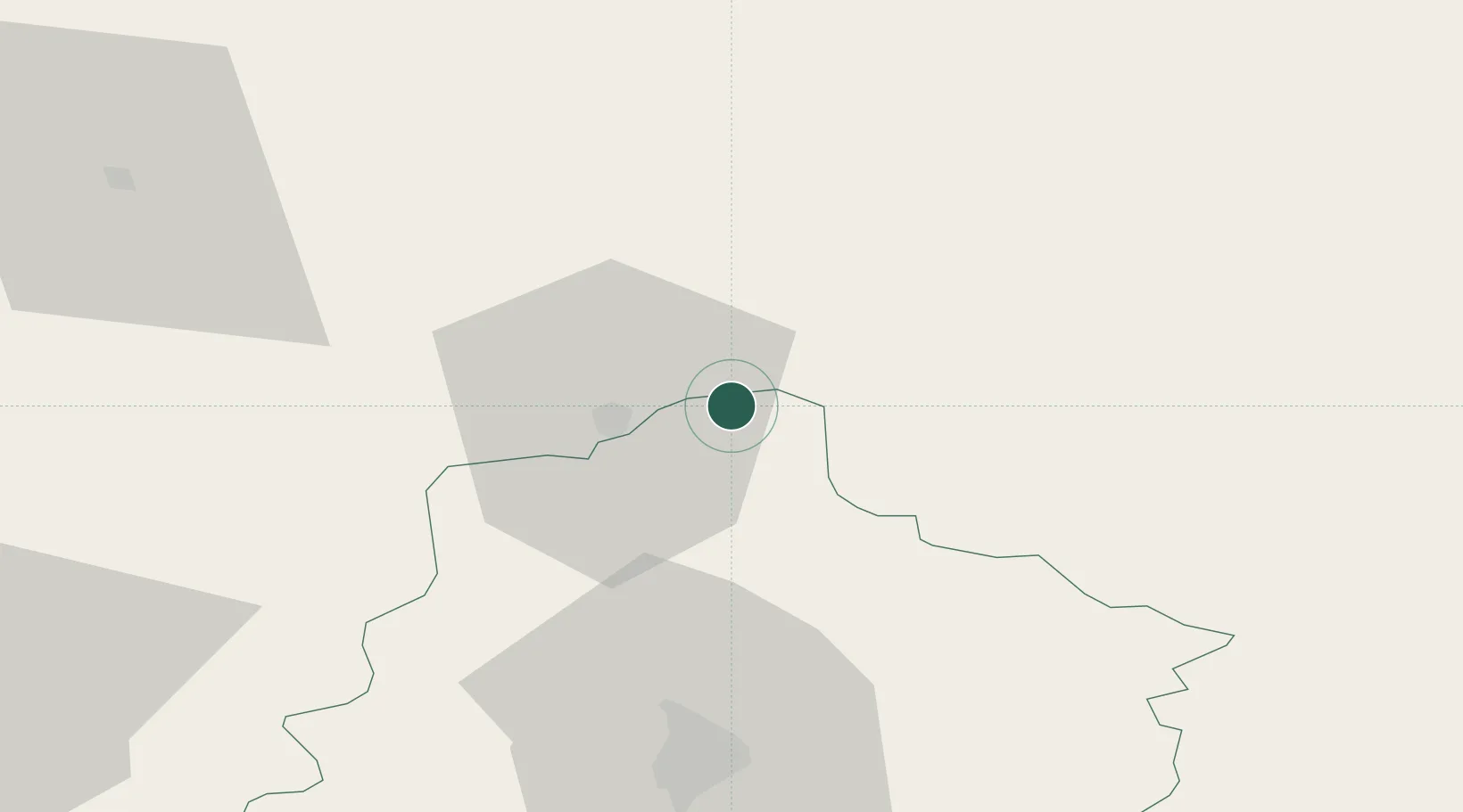
La Fresnaye-sur-Chédouet
48.4500°, 0.2500°
884
Population
1
Transport functions
Transport Functions
Multimodal
Hub Profile
Place type
Populated place
Region
Pays de la Loire
Population
884
Time zone
Europe/Paris
Elevation
163 m
Location
Nearby Logistics Neighbours
Cities
- 1Valframbert10 km
- 2Alençon12 km
- 3Lonrai16 km
- 4Troarn17 km
- 5Sées18 km
Ports
- 1Port De Caen93 km
- 2Ouistreham100 km
- 3Deauville103 km
- 4Honfleur108 km
- 5Port Of Le Havre115 km
Airports
- 1Le Mans-Arnage Airport56 km
- 2Laval-Entrammes Airport87 km
- 3Châteaudun Airfield94 km
- 4Caen Carpiquet airport96 km
- 5Évreux-Fauville (BA 105) Air Base96 km
Trade Zones
- 1ZFU Alençon13 km
- 2ZFU Le Mans53 km
- 3ZFU Dreux et Sainte-Gemme-Moronval90 km
- 4ZFU Évreux92 km
- 5ZFU Hérouville-Saint-Clair95 km
DatabookThe Record of Consolidated Knowledge
France beyond logistics?