Transport Functions
Multimodal
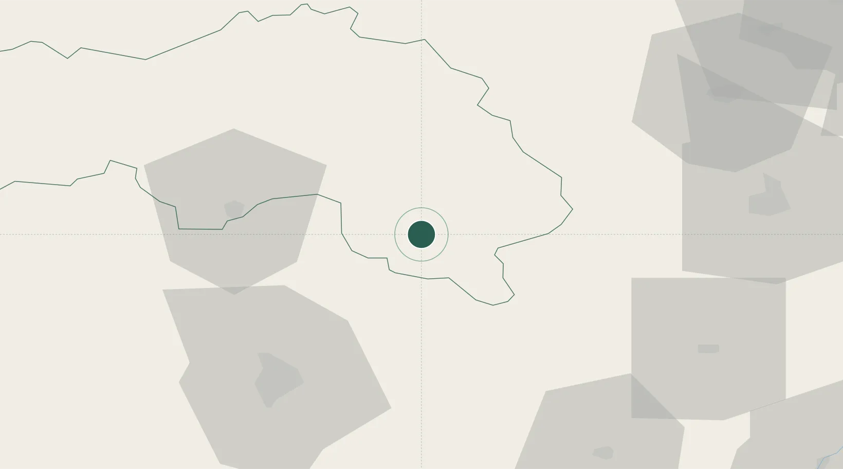
Hub Profile
Place type
Populated place
Region
Normandy
Population
454
Time zone
Europe/Paris
Elevation
208 m
Location
Nearby Logistics Neighbours
Cities
- 1La Rouge14 km
- 2Le Theil-sur-Huisne14 km
- 3L'Aiguillon-la-Rouge14 km
- 4Mortagne-au-Perche17 km
- 5Troarn22 km
Ports
- 1Port De Caen114 km
- 2Deauville117 km
- 3Ouistreham119 km
- 4Honfleur120 km
- 5Port Of Rouen126 km
Airports
Trade Zones
- 1ZFU Alençon38 km
- 2ZFU Le Mans55 km
- 3ZFU Dreux et Sainte-Gemme-Moronval72 km
- 4ZFU Évreux84 km
- 5ZFU Blois101 km
DatabookThe Record of Consolidated Knowledge
France beyond logistics?