UN/LOCODE hub · France
FRBPR

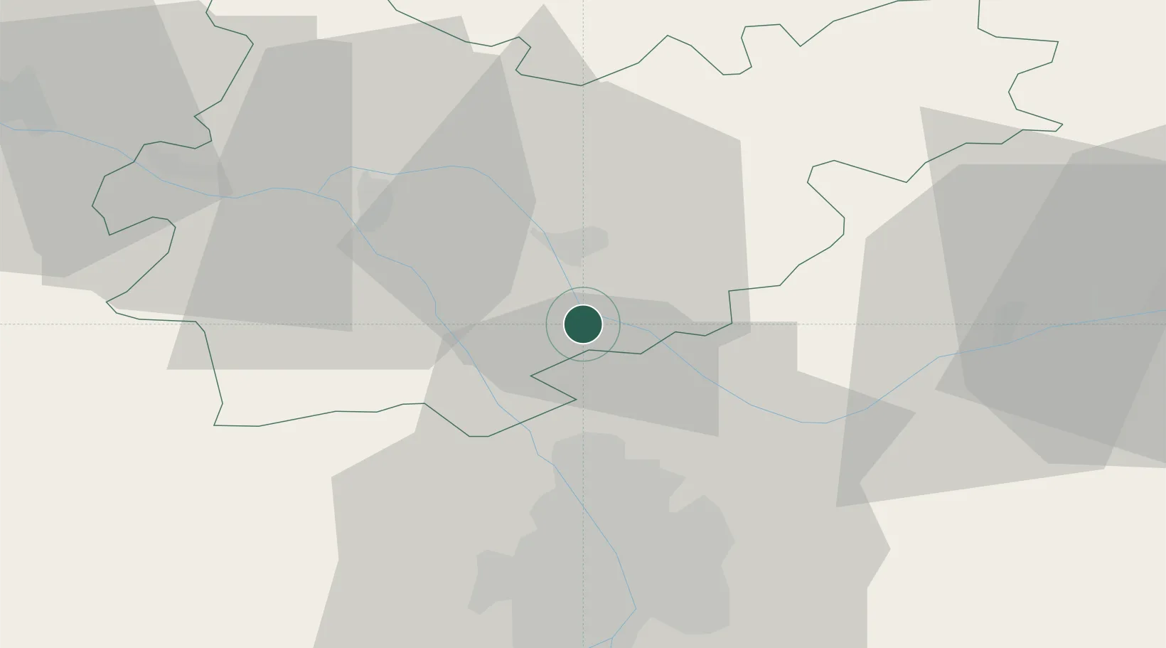
Labastide-Saint-Pierre

43.9167°, 1.3667°
3,253
Population
2
Transport functions

Transport Functions

Rail
Road
UN/LOCODE

Hub Profile

Place type
Populated place
GeoNames
Region
Occitanie
GeoNames
Population
3,253
GeoNames
Time zone
Europe/Paris
GeoNames
Elevation
101 m
GeoNames

Location

Location of FRBPR
Natural Earth 10m (public domain) · Occitanie · FRBPR · 43.92, 1.37GoogleOSMYandex

Nearby Logistics Neighbours

Cities
  1. 1Bressols6 km
  2. 2Fabas8 km
  3. 3Montbartier8 km
  4. 4Villaudric11 km
  5. 5Grisolles11 km
Nearest neighbours — logibook spatial index (haversine) over the source coordinates
Ports
  1. 1Port-La-Nouvelle170 km
  2. 2Bordeaux186 km
  3. 3Ambes194 km
  4. 4Sete196 km
  5. 5Blaye210 km
Nearest neighbours — logibook spatial index (haversine) over the source coordinates
Airports
  1. 1Toulouse-Blagnac Airport32 km
  2. 2Toulouse-Francazal (BA 101) Air Base41 km
  3. 3Cahors Lalbenque airport49 km
  4. 4Albi Le Sequestre airport60 km
  5. 5Auch Gers Airfield67 km
Nearest neighbours — logibook spatial index (haversine) over the source coordinates
Trade Zones
  1. 1ZFU Toulouse35 km
  2. 2ZFU Béziers162 km
  3. 3ZFU Perpignan183 km
  4. 4ZFU Hauts de Garonne185 km
  5. 5Port de Bordeaux187 km
Nearest neighbours — logibook spatial index (haversine) over the source coordinates
DatabookThe Record of Consolidated Knowledge
France beyond logistics?
Browse databook

All Sources

LocationsUN/LOCODE
UN/LOCODE — free
LocationsGeoNames
CC BY 4.0
Portsthe NGA World Port Index
Public domain (US gov)
AirportsOurAirports
Public domain
Trade Zonesthe World Bank SEZ database
CC BY 4.0
Trade ZonesOpen Zone Map
CC BY
← France locations