Transport Functions
Port
Rail
Road
Hub Profile
Place type
Populated place
Region
Occitanie
Population
884
Time zone
Europe/Paris
Elevation
134 m
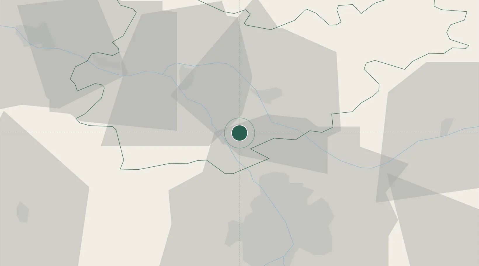
Location
Nearby Logistics Neighbours
Cities
- 1Montech6 km
- 2Fabas8 km
- 3Grisolles8 km
- 4Labastide-Saint-Pierre8 km
- 5Bressols9 km
Ports
- 1Port-La-Nouvelle175 km
- 2Bordeaux181 km
- 3Ambes189 km
- 4Sete204 km
- 5Blaye206 km
Airports
Trade Zones
- 1ZFU Toulouse36 km
- 2ZFU Béziers169 km
- 3ZFU Hauts de Garonne179 km
- 4Port de Bordeaux182 km
- 5ZFU Perpignan187 km
DatabookThe Record of Consolidated Knowledge
France beyond logistics?