Transport Functions
Port
Road
Hub Profile
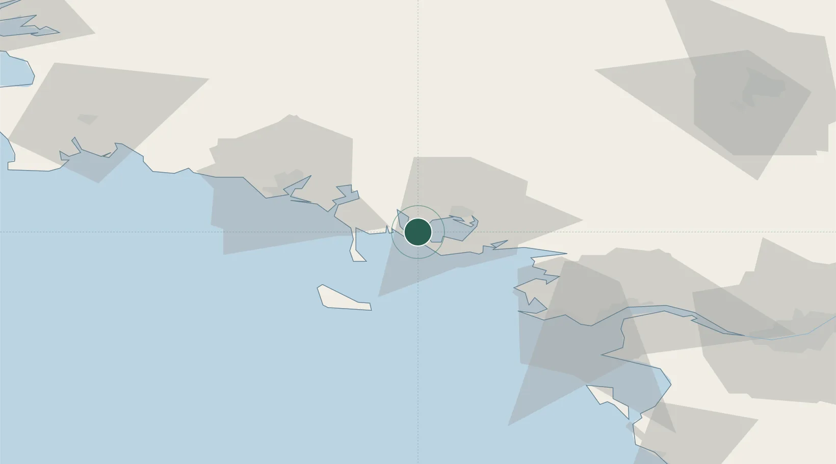
Place type
Populated place
Region
Brittany
Population
1,023
Time zone
Europe/Paris
Elevation
12 m
Location
Nearby Logistics Neighbours
Cities
- 1Port-Navalo4 km
- 2Baden4 km
- 3Locmariaquer4 km
- 4Le Moustoir5 km
- 5Crach8 km
Ports
- 1Lorient39 km
- 2St Nazaire62 km
- 3Montoir66 km
- 4Donges70 km
- 5Concarneau82 km
Airports
Trade Zones
- 1ZFU Saint-Nazaire58 km
- 2ZFU Nantes et Saint-Herblain99 km
- 3ZFU Angers173 km
- 4ZFU La Rochelle204 km
- 5ZFU Le Mans230 km
DatabookThe Record of Consolidated Knowledge
France beyond logistics?