UN/LOCODE hub · France
FRCS8
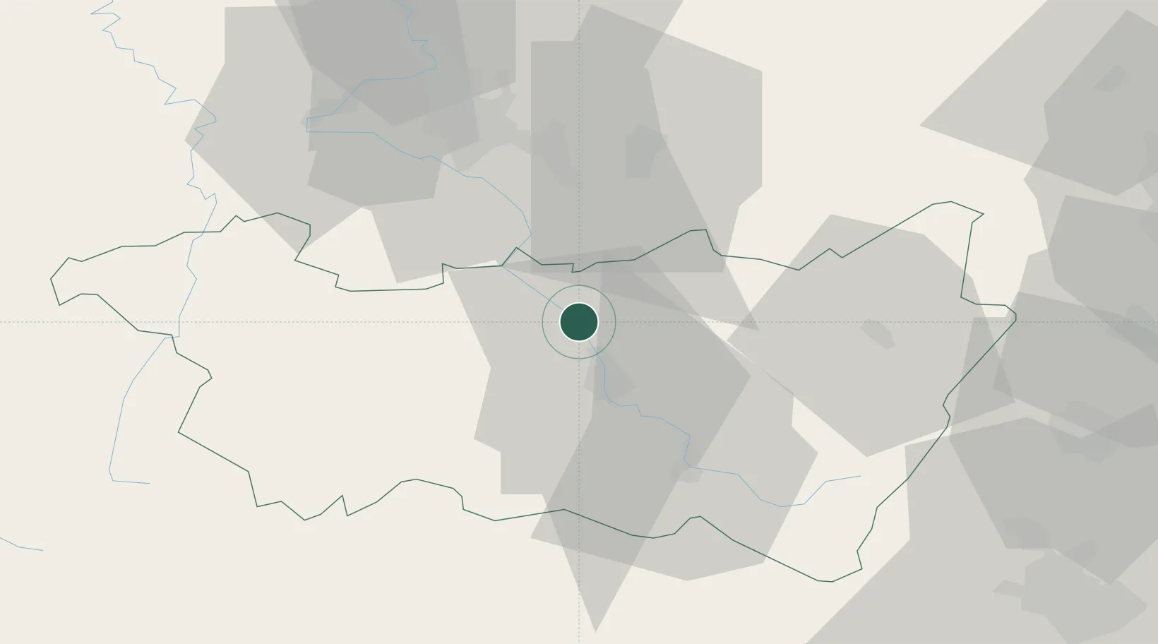
Châtel-sur-Moselle
48.3000°, 6.4000°
1,716
Population
2
Transport functions
Transport Functions
Road
Multimodal
Hub Profile
Place type
Populated place
Region
Grand Est
Population
1,716
Time zone
Europe/Paris
Elevation
303 m
Location
Nearby Logistics Neighbours
Cities
- 1Nomexy1 km
- 2Igney4 km
- 3Girmont5 km
- 4Domèvre-sur-Durbion5 km
- 5Vincey6 km
Airports
Trade Zones
- 1ZFU Maxéville, Laxou, et de Nancy49 km
- 2ZFU Belfort79 km
- 3ZFU Metz91 km
- 4ZFU Mulhouse93 km
- 5ZFU Montbéliard93 km
DatabookThe Record of Consolidated Knowledge
France beyond logistics?