Transport Functions
Rail
Road
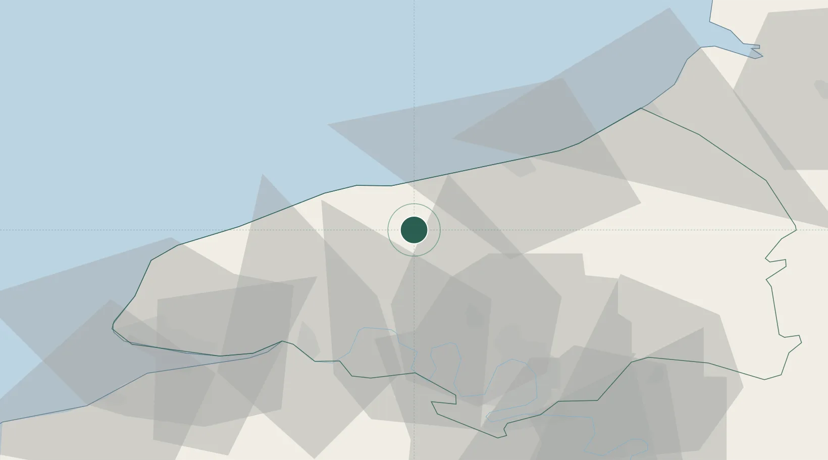
Hub Profile
Place type
Populated place
Region
Normandy
Population
112
Time zone
Europe/Paris
Elevation
126 m
Location
Nearby Logistics Neighbours
Cities
- 1Harcanville9 km
- 2Portes9 km
- 3Luneray10 km
- 4Veules-les-Roses11 km
- 5Saint-Leger14 km
Ports
- 1Dieppe27 km
- 2Fecamp32 km
- 3Port Of Rouen40 km
- 4Le Treport52 km
- 5Honfleur58 km
Airports
Trade Zones
- 1ZFU Rouen Bihorel39 km
- 2ZFU Le Havre58 km
- 3ZFU Évreux86 km
- 4ZFU Amiens95 km
- 5ZFU Beauvais96 km
DatabookThe Record of Consolidated Knowledge
France beyond logistics?