Transport Functions
Port
Road
Hub Profile
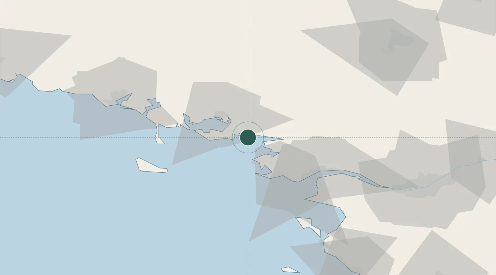
Place type
Populated place
Region
Brittany
Population
1,415
Time zone
Europe/Paris
Elevation
6 m
Location
Nearby Logistics Neighbours
Ports
- 1St Nazaire39 km
- 2Montoir42 km
- 3Donges46 km
- 4Lorient63 km
- 5Nantes84 km
Airports
Trade Zones
- 1ZFU Saint-Nazaire35 km
- 2ZFU Nantes et Saint-Herblain74 km
- 3ZFU Angers149 km
- 4ZFU La Rochelle183 km
- 5ZFU Le Mans209 km
DatabookThe Record of Consolidated Knowledge
France beyond logistics?