Transport Functions
Multimodal
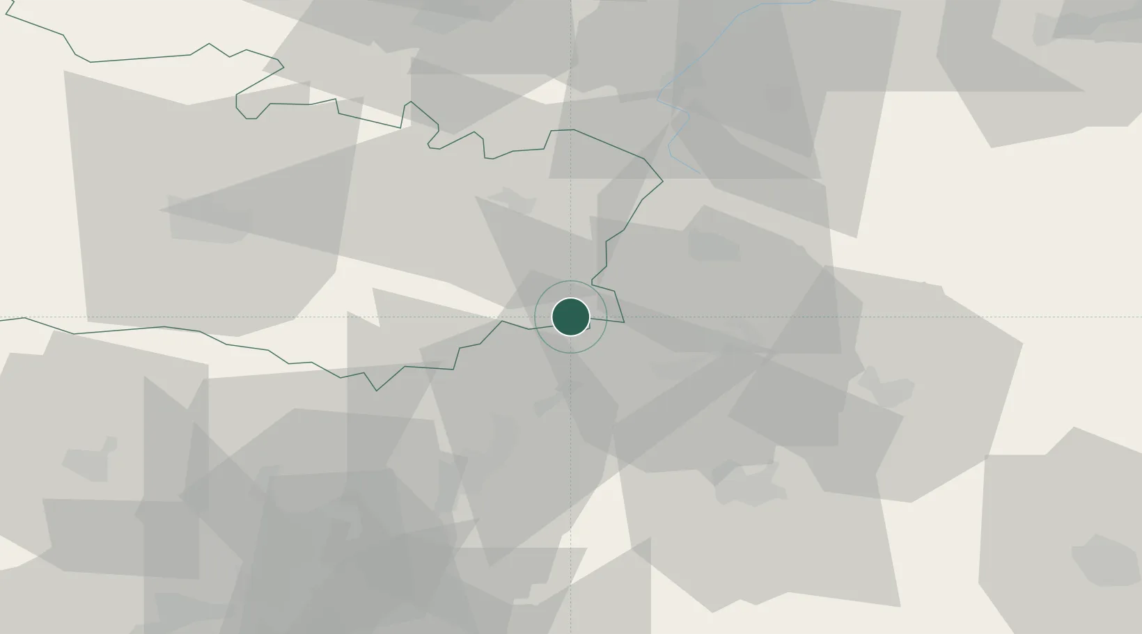
Hub Profile
Place type
Populated place
Region
Hauts-de-France
Population
774
Time zone
Europe/Paris
Elevation
72 m
Location
Nearby Logistics Neighbours
Cities
- 1Ercheu5 km
- 2Moyencourt6 km
- 3Saint-Simon11 km
- 4Saint-Christ-Briost16 km
- 5Varesnes17 km
Ports
- 1Saint-Valery-Sur-Somme113 km
- 2Le Treport124 km
- 3Dieppe141 km
- 4Port Of Rouen144 km
- 5Boulogne-Sur-Mer151 km
Airports
- 1Péronne Saint-Quentin Airfield17 km
- 2Amiens Glisy Airfield48 km
- 3Creil Air Base63 km
- 4Beauvais-Tillé airport71 km
- 5Valenciennes-Denain Airfield75 km
Trade Zones
DatabookThe Record of Consolidated Knowledge
France beyond logistics?